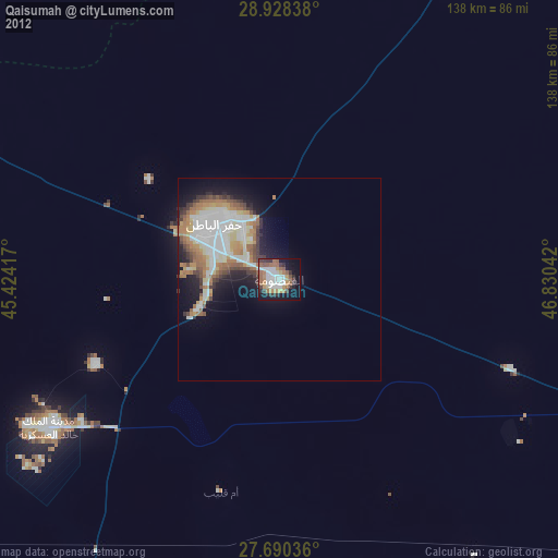
Qaisumah night lights from space
Night Light of Qaisumah (Eastern Province) from space (Saudi Arabia) Src. Average luminocity for 10x10km area is 59.4643% and for 50x50km: 18.1893%.
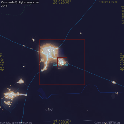
Analysis of Qaisumah night lights 2016
Square area 10x10 km:
 13.69%
90-99
15.48%80-89
1.19%70-79
2.58%60-69
20.83%50-59
6.75%40-49
9.13%30-39
6.35%20-29
10.12%10-19
13.29%0-9
0.6%Square area 50x50 km:
4.59%90-99
3.22%80-89
1.34%70-79
1.77%60-69
4.88%50-59
1.77%40-49
2.3%30-39
2.08%20-29
3.36%10-19
6.58%0-9
68.11%Clear (daylight) street map image can be seen on geolist.org.
Map coordinates:
28° 55' 42.2" North, 45° 25' 27" East
28° 18' 40.2" North, 46° 7' 38.2" East
27° 41' 25.3" North, 46° 49' 49.5" East
Some cities around Qaisumah sort by population:
• Al Aḩmadī, KW
209 km =129.9 mi,  65°
65°
• Hafar Al-Batin
20.4 km =12.7 mi,  311°
311°
• Al Farwānīyah, KW
208.3 km =129.4 mi,  58°
58°
• Ar Rābiyah, KW
207.2 km =128.7 mi, 58°
• Al Jahrā’, KW
187.8 km =116.7 mi,  52°
52°
• Janūb as Surrah, KW
209.5 km =130.2 mi, 59°
• Ash Shāmīyah, KW
212.6 km =132.1 mi, 57°
• Al Wafrah, KW
180 km =111.8 mi,  78°
78°
108918 (p: 20,685)
Sources (retrieved 2019-11-25):
» Earth at Night: Flat Maps 2012, 2016