Hafar Al-Batin night lights from space
Night Light of Hafar Al-Batin (Eastern Province) from space (Saudi Arabia) Src. Average luminocity for 10x10km area is 94.6567% and for 50x50km: 18.7788%.
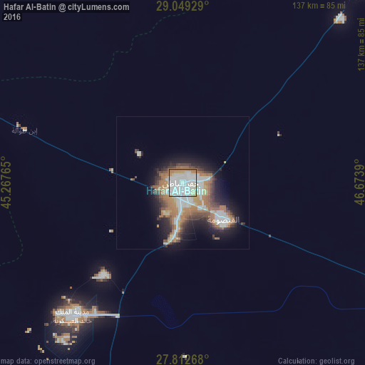
Analysis of Hafar Al-Batin night lights 2016
Square area 10x10 km:
 57.54%
90-99
22.82%80-89
8.13%70-79
3.97%60-69
6.94%50-59
0.6%40-49
0%30-39
0%20-29
0%10-19
0%0-9
0%Square area 50x50 km:
4.58%90-99
3.24%80-89
1.36%70-79
1.77%60-69
4.9%50-59
1.86%40-49
2.41%30-39
2.3%20-29
3.62%10-19
7.65%0-9
66.32%Clear (daylight) street map image can be seen on geolist.org.
Map coordinates:
29° 2' 57.4" North, 45° 16' 3.5" East
28° 25' 58" North, 45° 58' 14.8" East
27° 48' 45.6" North, 46° 40' 26" East
Some cities around Hafar Al-Batin sort by population:
• Al Aḩmadī, KW
218.1 km =135.5 mi,  70°
70°
• Al Farwānīyah, KW
215.2 km =133.7 mi,  64°
64°
• Ar Rābiyah, KW
213.8 km =132.8 mi, 63°
• Al Jahrā’, KW
192.6 km =119.7 mi, 58°
• Qaisumah
20.4 km =12.7 mi,  131°
131°
• Janūb as Surrah, KW
216.5 km =134.5 mi, 64°
• Ash Shāmīyah, KW
218.9 km =136 mi, 62°
• Al Wafrah, KW
192.8 km =119.8 mi,  83°
83°
106297 (p: 271,642)
Sources (retrieved 2019-11-25):
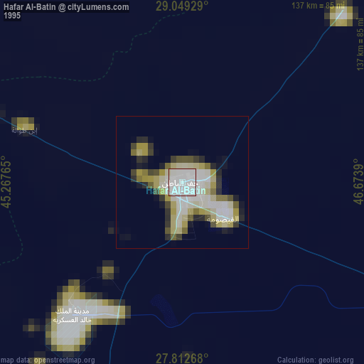
» NASA, Earths city lights 1995
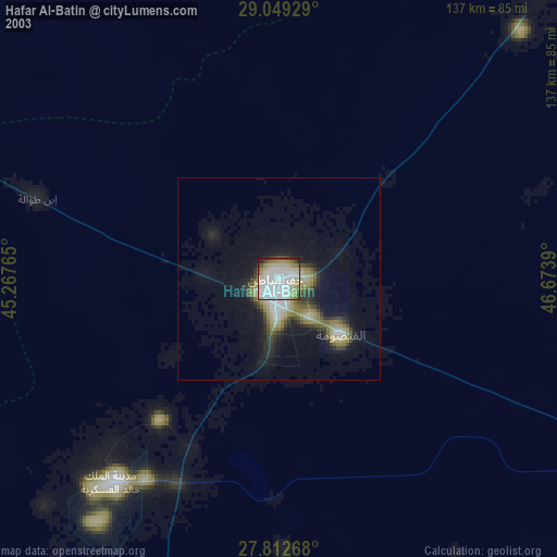
» NASA city lights 2003
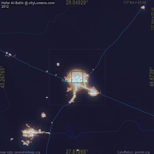
» Earth at Night: Flat Maps 2012, 2016