Al Aḩmadī night lights from space
Night Light of Al Aḩmadī from space (Kuwait) Src. Average luminocity for 10x10km area is 96.1528% and for 50x50km: 52.4756%.
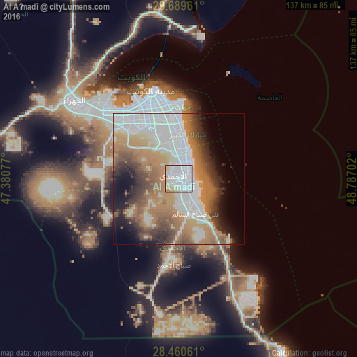
Analysis of Al Aḩmadī night lights 2016
Square area 10x10 km:
 68.25%
90-99
15.08%80-89
8.33%70-79
7.74%60-69
0.6%50-59
0%40-49
0%30-39
0%20-29
0%10-19
0%0-9
0%Square area 50x50 km:
17.64%90-99
7.91%80-89
3.6%70-79
7.6%60-69
12.05%50-59
6.56%40-49
5.77%30-39
5.67%20-29
5.08%10-19
6.73%0-9
21.39%Clear (daylight) street map image can be seen on geolist.org.
Map coordinates:
29° 41' 22.6" North, 47° 22' 50.8" East
29° 4' 37" North, 48° 5' 2" East
28° 27' 38.2" North, 48° 47' 13.3" East
Some cities around Al Aḩmadī sort by population:
• Şabāḩ as Sālim
20.2 km =12.6 mi,  352°
352°
• Al Faḩāḩīl
4.6 km =2.9 mi,  82°
82°
• Ar Riqqah
7.7 km =4.8 mi,  7°
7°
• Al Manqaf
5.2 km =3.2 mi,  65°
65°
• Al Finţās
11.4 km =7.1 mi,  18°
18°
• Janūb as Surrah
23.7 km =14.7 mi,  334°
334°
• Al Mahbūlah
8.8 km =5.5 mi,  30°
30°
• Mubārak al Kabīr
12.6 km =7.8 mi,  1°
1°
285839 (p: 637,411)
Sources (retrieved 2019-11-25):
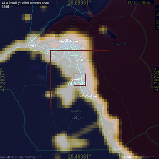
» NASA, Earths city lights 1995
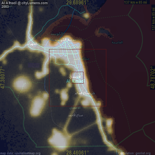
» NASA city lights 2003
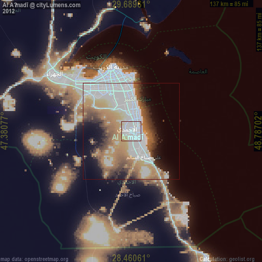
» Earth at Night: Flat Maps 2012, 2016