Al Jahrā’ night lights from space
Night Light of Al Jahrā’ (Al Jahrāʼ) from space (Kuwait) Src. Average luminocity for 10x10km area is 90.1723% and for 50x50km: 38.8851%.
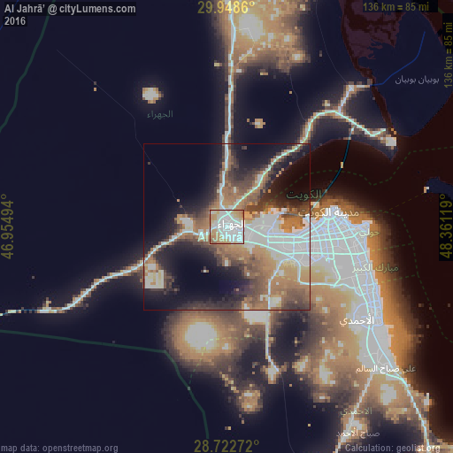
Analysis of Al Jahrā’ night lights 2016
Square area 10x10 km:
 40.53%
90-99
26.14%80-89
7.2%70-79
13.64%60-69
9.85%50-59
2.65%40-49
0%30-39
0%20-29
0%10-19
0%0-9
0%Square area 50x50 km:
9.39%90-99
6.85%80-89
2.6%70-79
3.85%60-69
8.66%50-59
5.97%40-49
5.82%30-39
5.88%20-29
6.94%10-19
13.43%0-9
30.61%Clear (daylight) street map image can be seen on geolist.org.
Map coordinates:
29° 56' 55" North, 46° 57' 17.8" East
29° 20' 15" North, 47° 39' 29" East
28° 43' 21.8" North, 48° 21' 40.3" East
Some cities around Al Jahrā’ sort by population:
• Ḩawallī
35.9 km =22.3 mi,  90°
90°
• Al Farwānīyah
29.9 km =18.6 mi,  102°
102°
• Kuwait City
31.2 km =19.4 mi,  83°
83°
• Ar Rābiyah
27.1 km =16.8 mi, 100°
• Bayān
38.1 km =23.7 mi, 95°
• Janūb as Surrah
31.9 km =19.8 mi, 103°
• Ad Dasmah
33.4 km =20.8 mi, 84°
• Ash Shāmīyah
29.4 km =18.3 mi, 87°
285799 (p: 24,281)
Sources (retrieved 2019-11-25):
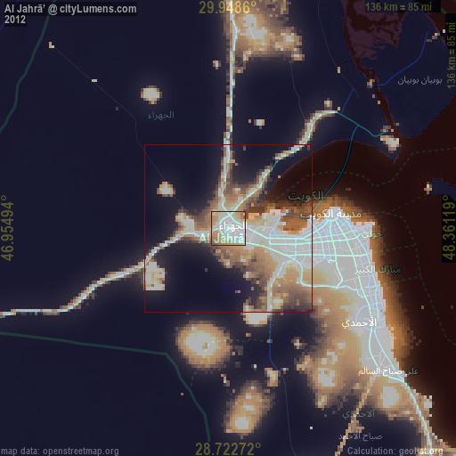
» Earth at Night: Flat Maps 2012, 2016