Afif night lights from space
Night Light of Afif (Ar Riyāḑ) from space (Saudi Arabia) Src. Average luminocity for 10x10km area is 73.1687% and for 50x50km: 7.9426%.
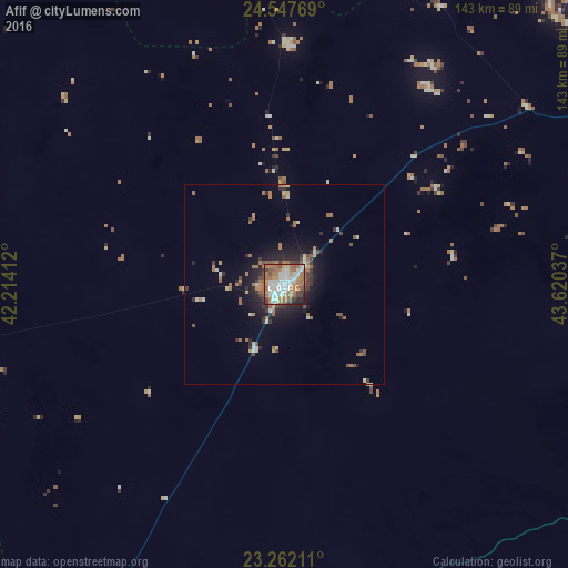
Analysis of Afif night lights 2016
Square area 10x10 km:
 21.63%
90-99
15.87%80-89
2.98%70-79
7.74%60-69
26.79%50-59
9.52%40-49
6.35%30-39
5.16%20-29
2.98%10-19
0.99%0-9
0%Square area 50x50 km:
1.04%90-99
1.1%80-89
0.4%70-79
0.65%60-69
2.54%50-59
1.1%40-49
0.93%30-39
1.28%20-29
1.73%10-19
4.59%0-9
84.62%Clear (daylight) street map image can be seen on geolist.org.
Map coordinates:
24° 32' 51.7" North, 42° 12' 50.8" East
23° 54' 23.4" North, 42° 55' 2.1" East
23° 15' 43.6" North, 43° 37' 13.3" East
Some cities around Afif sort by population:
• Ar Rass
226 km =140.4 mi,  15°
15°
• Al Mithnab
254 km =157.8 mi,  31°
31°
• Ad Dawādimī
163.9 km =101.8 mi,  65°
65°
• Al Bukayrīyah
259.2 km =161.1 mi, 16°
• Adh Dhibiyah
237 km =147.3 mi,  5°
5°
• Sājir
221.5 km =137.6 mi,  50°
50°
• Al Muwayh
202.1 km =125.6 mi,  215°
215°
• Al Fuwayliq
284.1 km =176.5 mi, 6°
110250 (p: 45,525)
Sources (retrieved 2019-11-25):
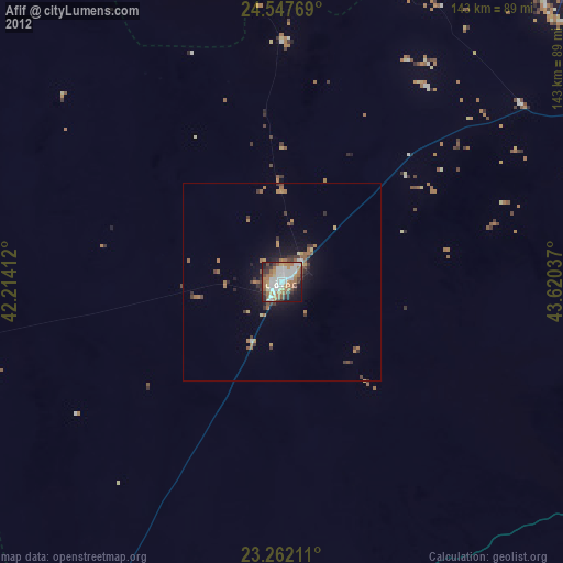
» Earth at Night: Flat Maps 2012, 2016