Ta’if night lights from space
Night Light of Ta’if (Makkah) from space (Saudi Arabia) Src. Average luminocity for 10x10km area is 99.1548% and for 50x50km: 43.9363%.
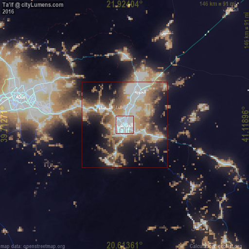
Analysis of Ta’if night lights 2016
Square area 10x10 km:
 67.66%
90-99
29.96%80-89
1.98%70-79
0.4%60-69
0%50-59
0%40-49
0%30-39
0%20-29
0%10-19
0%0-9
0%Square area 50x50 km:
10.42%90-99
7.98%80-89
2.75%70-79
4.78%60-69
11.88%50-59
6.02%40-49
6.07%30-39
5.58%20-29
8.44%10-19
11.89%0-9
24.19%Clear (daylight) street map image can be seen on geolist.org.
Map coordinates:
21° 55' 26.5" North, 39° 42' 45.8" East
21° 16' 13" North, 40° 24' 57" East
20° 36' 49" North, 41° 7' 8.3" East
Some cities around Ta’if sort by population:
• Jeddah
129.6 km =80.5 mi,  280°
280°
• Mecca
63.5 km =39.5 mi,  285°
285°
• Al Bahah
177.6 km =110.4 mi,  141°
141°
• Ash Shafā
24.2 km =15 mi,  204°
204°
• Turabah
126.3 km =78.5 mi,  92°
92°
• Al Jumūm
84 km =52.2 mi,  297°
297°
• Al Mindak
153 km =95.1 mi, 143°
• Al Hadā
17.2 km =10.7 mi,  305°
305°
107968 (p: 530,848)
Sources (retrieved 2019-11-25):
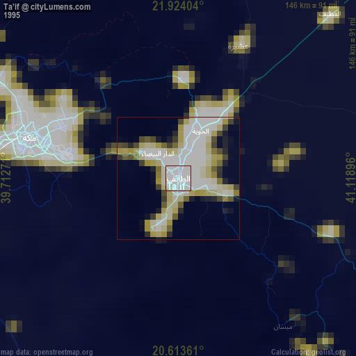
» NASA, Earths city lights 1995
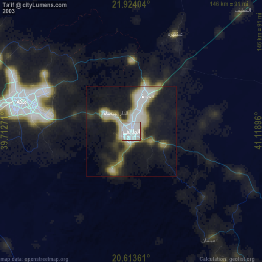
» NASA city lights 2003
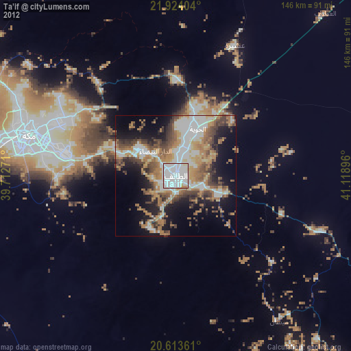
» Earth at Night: Flat Maps 2012, 2016