Mecca night lights from space
Night Light of Mecca (Makkah) from space (Saudi Arabia) Src. Average luminocity for 10x10km area is 99.9621% and for 50x50km: 67.6244%.
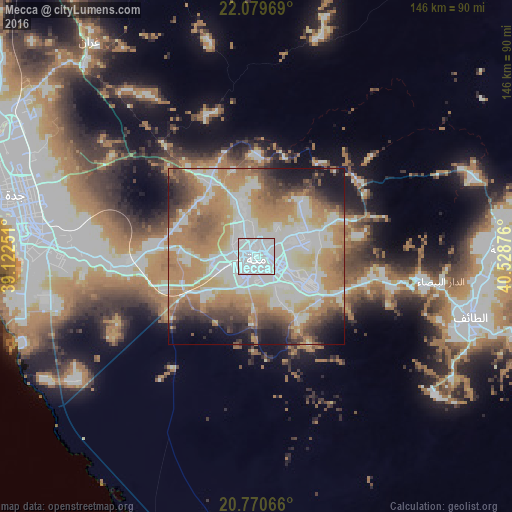
Analysis of Mecca night lights 2016
Square area 10x10 km:
 96.4%
96.4%90-99
3.6%80-89
0%70-79
0%60-69
0%50-59
0%40-49
0%30-39
0%20-29
0%10-19
0%0-9
0%Square area 50x50 km:
19.8%90-99
13.09%80-89
7.26%70-79
11.45%60-69
16.65%50-59
6.4%40-49
5.2%30-39
4.92%20-29
4.49%10-19
7.1%0-9
3.62%Clear (daylight) street map image can be seen on geolist.org.
Map coordinates:
22° 4' 46.9" North, 39° 7' 21" East
21° 25' 35.9" North, 39° 49' 32.3" East
20° 46' 14.4" North, 40° 31' 43.5" East
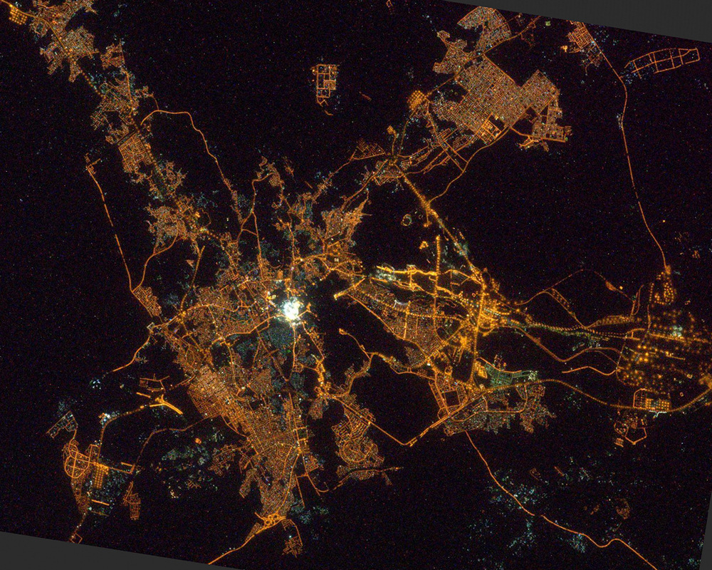
Fantastic image of Mecca from space taken by astronauts [src2], but I don't have information about it's orientation, scale or angle. If necessary, it was rotated manually, so North points approximately to upper direction. Click to zoom in:
Some cities around Mecca sort by population:
• Jeddah
66.5 km =41.3 mi,  276°
276°
• Ta’if
63.5 km =39.5 mi,  105°
105°
• Ash Shafā
64.5 km =40.1 mi,  127°
127°
• Rābigh
172.9 km =107.4 mi,  331°
331°
• Turabah
188.7 km =117.3 mi,  97°
97°
• Al Jumūm
25.3 km =15.7 mi, 328°
• Al Mindak
207 km =128.6 mi, 132°
• Al Hadā
47.7 km =29.6 mi, 99°
104515 (p: 1,323,624)
Sources (retrieved 2019-11-25):
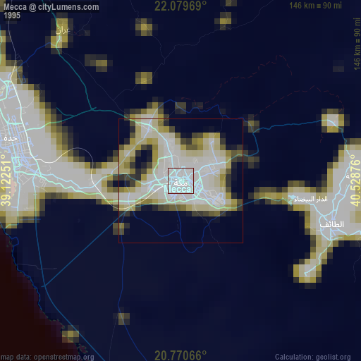
» NASA, Earths city lights 1995
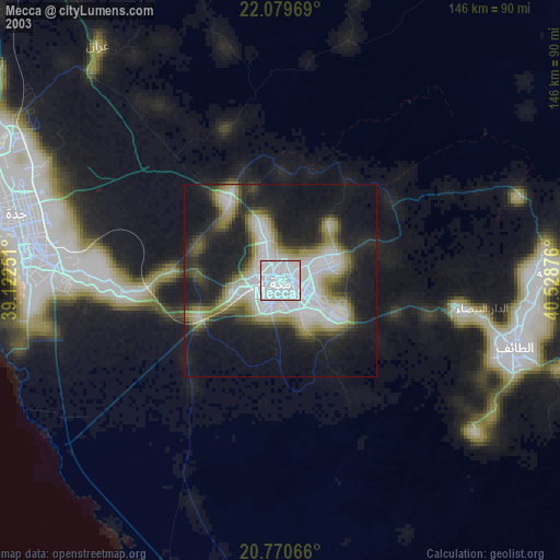
» NASA city lights 2003
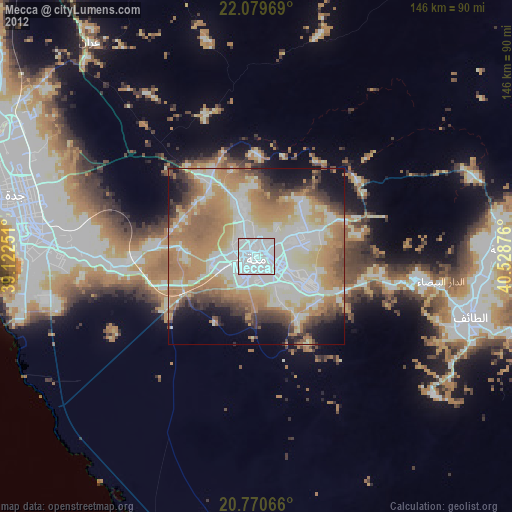
» Earth at Night: Flat Maps 2012, 2016
Src.2: Anton Shkaplerov on Twitter Mecca