Ash Shafā night lights from space
Night Light of Ash Shafā (Makkah) from space (Saudi Arabia) Src. Average luminocity for 10x10km area is 38.246% and for 50x50km: 16.8862%.
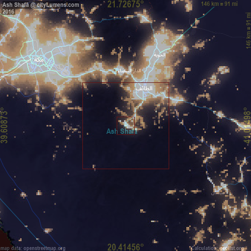
Analysis of Ash Shafā night lights 2016
Square area 10x10 km:
 6.35%
6.35%90-99
8.53%80-89
0.99%70-79
0.99%60-69
13.49%50-59
5.56%40-49
5.56%30-39
2.18%20-29
10.32%10-19
28.17%0-9
17.86%Square area 50x50 km:
3.5%90-99
2.91%80-89
0.68%70-79
1.51%60-69
5.16%50-59
2.47%40-49
2.26%30-39
2.15%20-29
4.15%10-19
6.83%0-9
68.36%Clear (daylight) street map image can be seen on geolist.org.
Map coordinates:
21° 43' 36.3" North, 39° 36' 31.4" East
21° 4' 21.6" North, 40° 19' 6.3" East
20° 24' 52.4" North, 41° 0' 53.9" East
Some cities around Ash Shafā sort by population:
• Jeddah
126.2 km =78.4 mi,  291°
291°
• Mecca
64.5 km =40.1 mi,  307°
307°
• Ta’if
24.2 km =15 mi,  24°
24°
• Al Bahah
167.9 km =104.3 mi,  134°
134°
• Turabah
137.2 km =85.3 mi,  83°
83°
• Al Jumūm
88.6 km =55.1 mi, 313°
• Al Mindak
142.9 km =88.8 mi,  135°
135°
• Al Hadā
32.1 km =19.9 mi,  352°
352°
410096 (p: 72,190)
Sources (retrieved 2019-11-25):
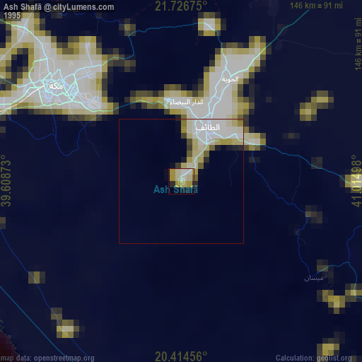
» NASA, Earths city lights 1995
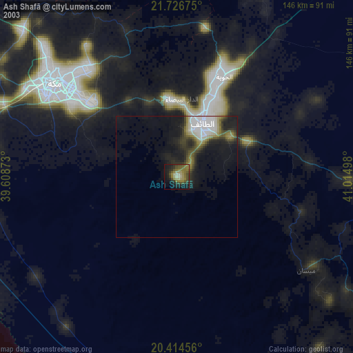
» NASA city lights 2003
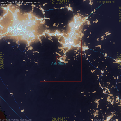
» Earth at Night: Flat Maps 2012, 2016