Kibuye night lights from space
Night Light of Kibuye (Western Province) from space (Rwanda) Src. Average luminocity for 10x10km area is 3.8268% and for 50x50km: 0.2119%.
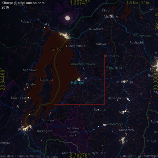
Analysis of Kibuye night lights 2016
Square area 10x10 km:
 0%
0%90-99
0.87%80-89
1.73%70-79
0%60-69
0%50-59
0%40-49
0.87%30-39
1.52%20-29
0.87%10-19
0.22%0-9
93.94%Square area 50x50 km:
0%90-99
0.03%80-89
0.07%70-79
0.01%60-69
0.03%50-59
0%40-49
0.07%30-39
0.1%20-29
0.03%10-19
0.04%0-9
99.62%Clear (daylight) street map image can be seen on geolist.org.
Map coordinates:
1° 21' 26.9" South, 28° 38' 40.8" East
2° 3' 37" South, 29° 20' 52" East
2° 45' 46" South, 30° 3' 3.3" East
Some cities around Kibuye sort by population:
• Goma, CD
44.9 km =27.9 mi,  342°
342°
• Gitarama
45.5 km =28.3 mi,  91°
91°
• Musanze
70 km =43.5 mi,  27°
27°
• Gisenyi
41 km =25.5 mi,  345°
345°
• Cyangugu
68 km =42.3 mi,  226°
226°
• Nzega
52 km =32.3 mi,  153°
153°
• Sake, CD
63.8 km =39.6 mi,  327°
327°
• Nyanza
55.3 km =34.4 mi,  125°
125°
202065 (p: 48,024)
Sources (retrieved 2019-11-25):
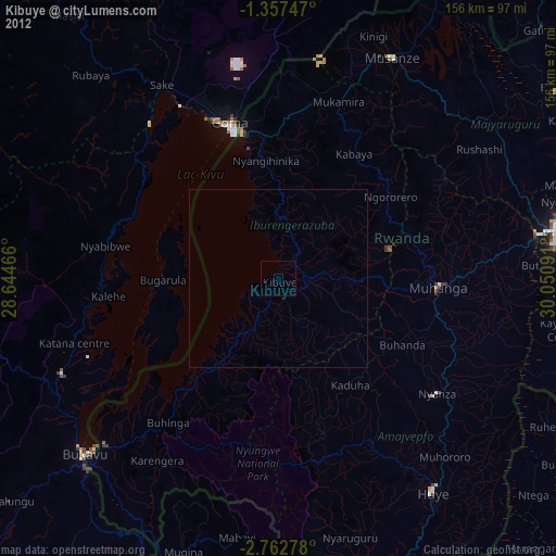
» Earth at Night: Flat Maps 2012, 2016