Nzega night lights from space
Night Light of Nzega (Southern Province) from space (Rwanda) Src. Average luminocity for 10x10km area is 6.4632% and for 50x50km: 1.3523%.
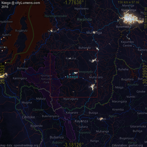
Analysis of Nzega night lights 2016
Square area 10x10 km:
 0.22%
0.22%90-99
3.46%80-89
0.65%70-79
0%60-69
0.65%50-59
1.08%40-49
0%30-39
0.87%20-29
0.43%10-19
0.43%0-9
92.21%Square area 50x50 km:
0.03%90-99
0.44%80-89
0.25%70-79
0%60-69
0.18%50-59
0.22%40-49
0.06%30-39
0.33%20-29
0.19%10-19
0.1%0-9
98.19%Clear (daylight) street map image can be seen on geolist.org.
Map coordinates:
1° 46' 34.9" South, 28° 51' 11.8" East
2° 28' 44.4" South, 29° 33' 23" East
3° 10' 52.5" South, 30° 15' 34.3" East
Some cities around Nzega sort by population:
• Butare
24.2 km =15 mi,  122°
122°
• Gitarama
50.2 km =31.2 mi,  26°
26°
• Kibuye
52 km =32.3 mi,  333°
333°
• Ngozi, BI
56.5 km =35.1 mi,  147°
147°
• Kayanza, BI
49.9 km =31 mi,  170°
170°
• Cibitoke, BI
66 km =41 mi,  226°
226°
• Kirundo, BI
61.1 km =38 mi,  101°
101°
• Nyanza
25.8 km =16 mi,  56°
56°
201865 (p: 33,832)
Sources (retrieved 2019-11-25):
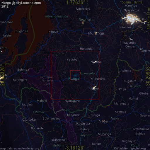
» Earth at Night: Flat Maps 2012, 2016