Nyanza night lights from space
Night Light of Nyanza (Southern Province) from space (Rwanda) Src. Average luminocity for 10x10km area is 7.961% and for 50x50km: 1.0109%.
Analysis of Nyanza night lights 2016
Square area 10x10 km:
 0%
0%90-99
3.03%80-89
2.16%70-79
0%60-69
0.87%50-59
0.87%40-49
0%30-39
1.52%20-29
1.95%10-19
0%0-9
89.61%Square area 50x50 km:
0.04%90-99
0.36%80-89
0.11%70-79
0%60-69
0.06%50-59
0.15%40-49
0.04%30-39
0.41%20-29
0.22%10-19
0.09%0-9
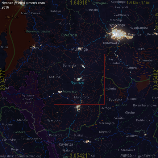
98.51%Clear (daylight) street map image can be seen on geolist.org.
Map coordinates:
1° 38' 57" South, 29° 2' 52" East
2° 21' 6.7" South, 29° 45' 3.2" East
3° 3' 15.2" South, 30° 27' 14.5" East
Some cities around Nyanza sort by population:
• Kigali
56.3 km =35 mi,  37°
37°
• Butare
27.2 km =16.9 mi,  182°
182°
• Gitarama
30.9 km =19.2 mi,  1°
1°
• Kibuye
55.3 km =34.4 mi,  305°
305°
• Nzega
25.8 km =16 mi,  236°
236°
• Ngozi, BI
62.4 km =38.8 mi,  171°
171°
• Kayanza, BI
64.8 km =40.3 mi,  192°
192°
• Kirundo, BI
46.2 km =28.7 mi,  124°
124°
7062967 (p: 0)
Sources (retrieved 2019-11-25):
» Earth at Night: Flat Maps 2012, 2016