Musanze night lights from space
Night Light of Musanze (Northern Province) from space (Rwanda) Src. Average luminocity for 10x10km area is 4.6364% and for 50x50km: 0.1989%.
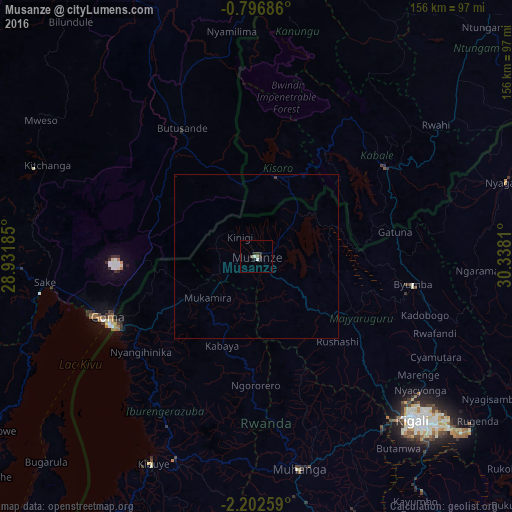
Analysis of Musanze night lights 2016
Square area 10x10 km:
 0.87%
0.87%90-99
0.87%80-89
0%70-79
0%60-69
0.87%50-59
0%40-49
1.3%30-39
3.03%20-29
0.43%10-19
1.3%0-9
91.34%Square area 50x50 km:
0.03%90-99
0.03%80-89
0%70-79
0%60-69
0.03%50-59
0%40-49
0.05%30-39
0.16%20-29
0.02%10-19
0.05%0-9
99.62%Clear (daylight) street map image can be seen on geolist.org.
Map coordinates:
0° 47' 48.7" South, 28° 55' 54.7" East
1° 29' 59.4" South, 29° 38' 5.9" East
2° 12' 9.3" South, 30° 20' 17.2" East
Some cities around Musanze sort by population:
• Goma, CD
49.2 km =30.6 mi,  246°
246°
• Gitarama
65.3 km =40.6 mi,  168°
168°
• Gisenyi
47.7 km =29.6 mi,  241°
241°
• Byumba
48.8 km =30.3 mi,  100°
100°
• Kabale, UG
48.3 km =30 mi,  54°
54°
• Sake, CD
66.3 km =41.2 mi,  262°
262°
• Kanungu, UG
62.7 km =39 mi,  15°
15°
• Kisoro, UG
24.5 km =15.2 mi,  13°
13°
201521 (p: 86,685)
Sources (retrieved 2019-11-25):
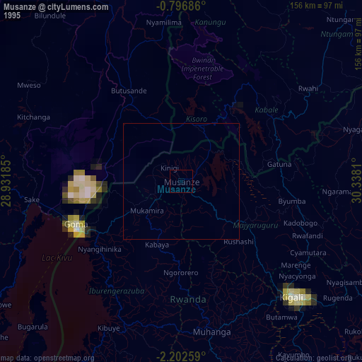
» NASA, Earths city lights 1995
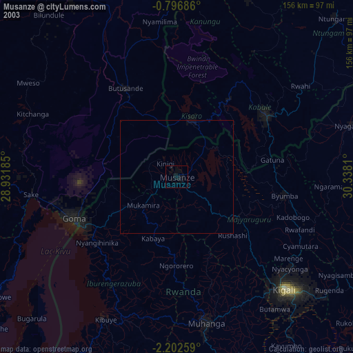
» NASA city lights 2003
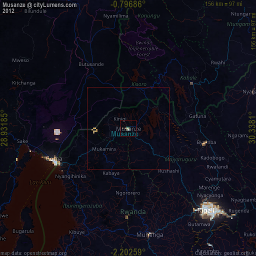
» Earth at Night: Flat Maps 2012, 2016