Kayanza night lights from space
Night Light of Kayanza from space (Burundi) Src. Average luminocity for 10x10km area is 0.3853% and for 50x50km: 0.2097%.
Analysis of Kayanza night lights 2016
Square area 10x10 km:
 0%
0%90-99
0%80-89
0%70-79
0%60-69
0%50-59
0%40-49
0%30-39
0%20-29
0.43%10-19
1.3%0-9
98.27%Square area 50x50 km:
0%90-99
0.01%80-89
0.03%70-79
0.05%60-69
0.05%50-59
0%40-49
0.04%30-39
0.12%20-29
0.06%10-19
0.05%0-9
99.58%Clear (daylight) street map image can be seen on geolist.org.
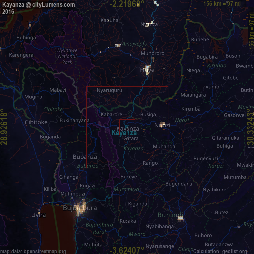
Map coordinates:
2° 13' 10.9" South, 28° 55' 34.2" East
2° 55' 19.6" South, 29° 37' 45.5" East
3° 37' 26.7" South, 30° 19' 56.7" East
Some cities around Kayanza sort by population:
• Bujumbura
59.1 km =36.7 mi,  210°
210°
• Butare, RW
38.2 km =23.7 mi,  18°
18°
• Nzega, RW
49.9 km =31 mi,  350°
350°
• Ngozi
22.4 km =13.9 mi,  85°
85°
• Muramvya
38.6 km =24 mi,  183°
183°
• Cibitoke
56.2 km =34.9 mi,  273°
273°
• Bubanza
31.8 km =19.8 mi,  236°
236°
• Isale
50.1 km =31.1 mi,  198°
198°
430952 (p: 19,443)
Sources (retrieved 2019-11-25):
» Earth at Night: Flat Maps 2012, 2016