Butare night lights from space
Night Light of Butare (Southern Province) from space (Rwanda) Src. Average luminocity for 10x10km area is 14.7424% and for 50x50km: 1.0223%.
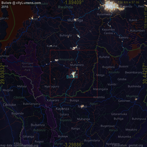
Analysis of Butare night lights 2016
Square area 10x10 km:
 0.65%
0.65%90-99
3.68%80-89
3.46%70-79
0%60-69
2.16%50-59
3.46%40-49
0.43%30-39
2.6%20-29
1.3%10-19
0.22%0-9
82.03%Square area 50x50 km:
0.03%90-99
0.29%80-89
0.16%70-79
0%60-69
0.11%50-59
0.18%40-49
0.06%30-39
0.33%20-29
0.12%10-19
0.07%0-9
98.64%Clear (daylight) street map image can be seen on geolist.org.
Map coordinates:
1° 53' 38.7" South, 29° 2' 10.8" East
2° 35' 48" South, 29° 44' 22" East
3° 17' 55.9" South, 30° 26' 33.3" East
Some cities around Butare sort by population:
• Gitarama
58.1 km =36.1 mi,  1°
1°
• Muyinga, BI
72.3 km =44.9 mi,  112°
112°
• Nzega
24.2 km =15 mi,  302°
302°
• Ngozi, BI
36 km =22.4 mi,  163°
163°
• Kayanza, BI
38.2 km =23.7 mi,  198°
198°
• Bubanza, BI
66.3 km =41.2 mi,  215°
215°
• Kirundo, BI
39.6 km =24.6 mi,  88°
88°
• Nyanza
27.2 km =16.9 mi, 2°
203112 (p: 89,600)
Sources (retrieved 2019-11-25):
» NASA, Earths city lights 1995
» NASA city lights 2003
» Earth at Night: Flat Maps 2012, 2016