Cibitoke night lights from space
Night Light of Cibitoke from space (Burundi) Src. Average luminocity for 10x10km area is 0% and for 50x50km: 0.0031%.
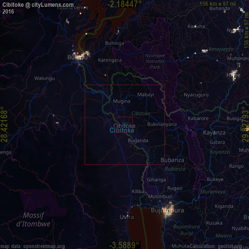
Analysis of Cibitoke night lights 2016
Square area 10x10 km:
 0%
0%90-99
0%80-89
0%70-79
0%60-69
0%50-59
0%40-49
0%30-39
0%20-29
0%10-19
0%0-9
100%Square area 50x50 km:
0%90-99
0%80-89
0%70-79
0%60-69
0%50-59
0%40-49
0%30-39
0%20-29
0%10-19
0%0-9
100%Clear (daylight) street map image can be seen on geolist.org.
Map coordinates:
2° 11' 4.1" South, 28° 25' 18" East
2° 53' 12.8" South, 29° 7' 29.3" East
3° 35' 20" South, 29° 49' 40.5" East
Some cities around Cibitoke sort by population:
• Bujumbura
61 km =37.9 mi,  154°
154°
• Bukavu, CD
54 km =33.6 mi,  324°
324°
• Uvira, CD
56.6 km =35.2 mi,  178°
178°
• Cyangugu, RW
50.8 km =31.6 mi,  331°
331°
• Kabare, CD
57.1 km =35.5 mi, 319°
• Kayanza
56.2 km =34.9 mi,  93°
93°
• Bubanza
36.6 km =22.7 mi,  126°
126°
• Isale
65 km =40.4 mi,  142°
142°
430021 (p: 14,220)
Sources (retrieved 2019-11-25):
» Earth at Night: Flat Maps 2012, 2016