Zuyevka night lights from space
Night Light of Zuyevka (Kirov) from space (Russia) Src. Average luminocity for 10x10km area is 0.6803% and for 50x50km: 0.0267%.
Analysis of Zuyevka night lights 2016
Square area 10x10 km:
 0%
0%90-99
0%80-89
0%70-79
0%60-69
0%50-59
0%40-49
0%30-39
1.36%20-29
0.45%10-19
0%0-9
98.19%Square area 50x50 km:
0%90-99
0%80-89
0%70-79
0%60-69
0%50-59
0%40-49
0%30-39
0.05%20-29
0.02%10-19
0%0-9
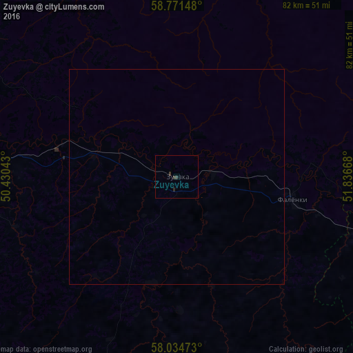
99.93%Clear (daylight) street map image can be seen on geolist.org.
Map coordinates:
58° 46' 17.3" North, 50° 25' 49.5" East
58° 24' 18.1" North, 51° 8' 0.8" East
58° 2' 5" North, 51° 50' 12" East
Some cities around Zuyevka sort by population:
• Kirovo-Chepetsk
65.7 km =40.8 mi,  284°
284°
• Slobodskoy
66.3 km =41.2 mi,  303°
303°
• Omutninsk
68.2 km =42.4 mi,  64°
64°
• Belaya Kholunitsa
51 km =31.7 mi,  341°
341°
• Vakhrushi
71.4 km =44.4 mi, 295°
• Vostochnyy
77.2 km =48 mi, 56°
• Yar
59.4 km =36.9 mi,  107°
107°
• Falënki
27.3 km =17 mi,  100°
100°
461964 (p: 11,953)
Sources (retrieved 2019-11-25):
» Earth at Night: Flat Maps 2012, 2016