Belaya Kholunitsa night lights from space
Night Light of Belaya Kholunitsa (Kirov) from space (Russia) Src. Average luminocity for 10x10km area is 0% and for 50x50km: 0%.
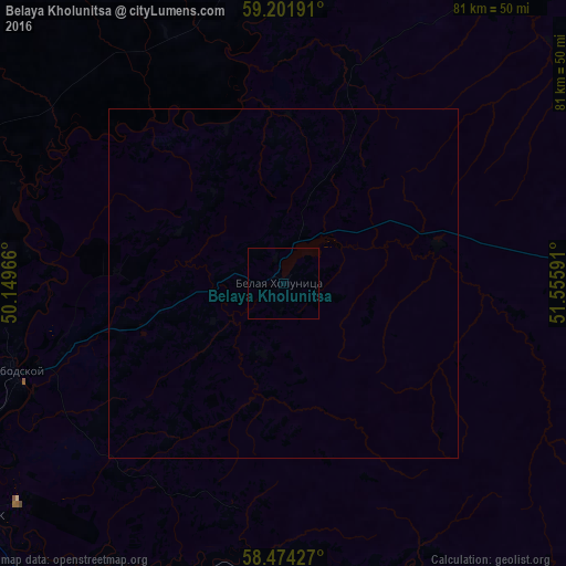
Analysis of Belaya Kholunitsa night lights 2016
Square area 10x10 km:
 0%
0%90-99
0%80-89
0%70-79
0%60-69
0%50-59
0%40-49
0%30-39
0%20-29
0%10-19
0%0-9
100%Square area 50x50 km:
0%90-99
0%80-89
0%70-79
0%60-69
0%50-59
0%40-49
0%30-39
0%20-29
0%10-19
0%0-9
100%Clear (daylight) street map image can be seen on geolist.org.
Map coordinates:
59° 12' 6.9" North, 50° 8' 58.8" East
58° 50' 24" North, 50° 51' 10" East
58° 28' 27.4" North, 51° 33' 21.3" East
Some cities around Belaya Kholunitsa sort by population:
• Kirov
74 km =46 mi,  248°
248°
• Kirovo-Chepetsk
56.7 km =35.2 mi,  235°
235°
• Slobodskoy
40.7 km =25.3 mi, 252°
• Omutninsk
79.6 km =49.5 mi,  103°
103°
• Zuyevka
51 km =31.7 mi,  161°
161°
• Raduzhnyy
79.5 km =49.4 mi, 241°
• Vakhrushi
50.7 km =31.5 mi, 250°
• Falënki
68.4 km =42.5 mi,  141°
141°
578152 (p: 11,658)
Sources (retrieved 2019-11-25):
» Earth at Night: Flat Maps 2012, 2016