Yar night lights from space
Night Light of Yar (Udmurtiya Republic) from space (Russia) Src. Average luminocity for 10x10km area is 1.3193% and for 50x50km: 0.0548%.
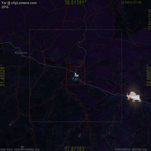
Analysis of Yar night lights 2016
Square area 10x10 km:
 0%
0%90-99
0%80-89
0%70-79
0.32%60-69
0.54%50-59
0.87%40-49
0.43%30-39
0%20-29
0%10-19
0%0-9
97.84%Square area 50x50 km:
0%90-99
0%80-89
0%70-79
0.01%60-69
0.02%50-59
0.04%40-49
0.02%30-39
0%20-29
0%10-19
0%0-9
99.91%Clear (daylight) street map image can be seen on geolist.org.
Map coordinates:
58° 36' 50.1" North, 51° 24' 8.2" East
58° 14' 44.9" North, 52° 6' 19.4" East
57° 52' 25.8" North, 52° 48' 30.7" East
Some cities around Yar sort by population:
• Glazov
34.5 km =21.4 mi,  110°
110°
• Omutninsk
47.4 km =29.5 mi,  6°
6°
• Igra
95.1 km =59.1 mi,  143°
143°
• Balezino
61.1 km =38 mi,  119°
119°
• Zuyevka
59.4 km =36.9 mi,  287°
287°
• Vostochnyy
60.8 km =37.8 mi, 7°
• Peskovka
90.1 km =56 mi, 9°
• Falënki
32.5 km =20.2 mi, 293°
469017 (p: 7,122)
Sources (retrieved 2019-11-25):
» Earth at Night: Flat Maps 2012, 2016