Falënki night lights from space
Night Light of Falënki (Kirov) from space (Russia) Src. Average luminocity for 10x10km area is 0% and for 50x50km: 0%.
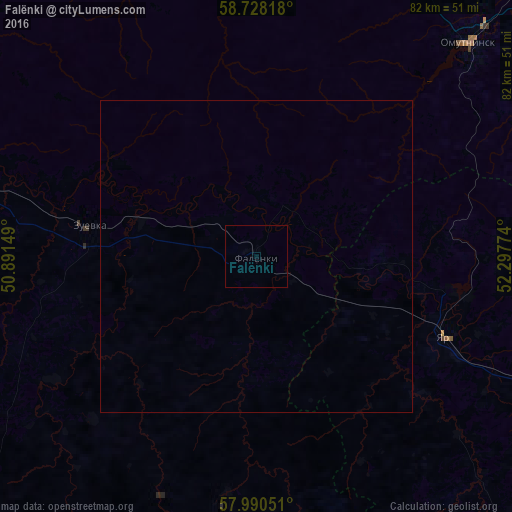
Analysis of Falënki night lights 2016
Square area 10x10 km:
 0%
0%90-99
0%80-89
0%70-79
0%60-69
0%50-59
0%40-49
0%30-39
0%20-29
0%10-19
0%0-9
100%Square area 50x50 km:
0%90-99
0%80-89
0%70-79
0%60-69
0%50-59
0%40-49
0%30-39
0%20-29
0%10-19
0%0-9
100%Clear (daylight) street map image can be seen on geolist.org.
Map coordinates:
58° 43' 41.4" North, 50° 53' 29.4" East
58° 21' 40.6" North, 51° 35' 40.6" East
57° 59' 25.8" North, 52° 17' 51.9" East
Some cities around Falënki sort by population:
• Glazov
66.9 km =41.6 mi,  111°
111°
• Slobodskoy
92 km =57.2 mi,  296°
296°
• Omutninsk
48.9 km =30.4 mi,  45°
45°
• Zuyevka
27.3 km =17 mi,  280°
280°
• Belaya Kholunitsa
68.4 km =42.5 mi,  321°
321°
• Vostochnyy
60.6 km =37.7 mi,  38°
38°
• Yar
32.5 km =20.2 mi, 113°
• Peskovka
87.9 km =54.6 mi,  30°
30°
563344 (p: 5,303)
Sources (retrieved 2019-11-25):
» Earth at Night: Flat Maps 2012, 2016