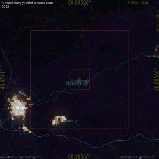
Slobodskoy night lights from space
Night Light of Slobodskoy (Kirov) from space (Russia) Src. Average luminocity for 10x10km area is 0.2562% and for 50x50km: 1.7589%.
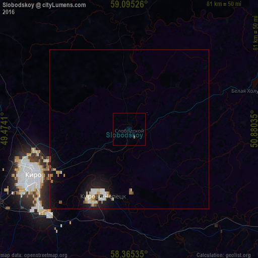
Analysis of Slobodskoy night lights 2016
Square area 10x10 km:
 0%
0%90-99
0%80-89
0%70-79
0%60-69
0%50-59
0.45%40-49
0%30-39
0%20-29
0%10-19
0%0-9
99.55%Square area 50x50 km:
0.2%90-99
0.42%80-89
0.27%70-79
0.16%60-69
0.22%50-59
0.13%40-49
0.19%30-39
0%20-29
0.24%10-19
1.85%0-9
96.33%Clear (daylight) street map image can be seen on geolist.org.
Map coordinates:
59° 5' 42.9" North, 49° 28' 26.8" East
58° 43' 56" North, 50° 10' 38" East
58° 21' 55.3" North, 50° 52' 49.3" East
Some cities around Slobodskoy sort by population:
• Kirov
33.5 km =20.8 mi,  243°
243°
• Kirovo-Chepetsk
21.4 km =13.3 mi,  201°
201°
• Lyangasovo
48.5 km =30.1 mi, 240°
• Zuyevka
66.3 km =41.2 mi,  123°
123°
• Belaya Kholunitsa
40.7 km =25.3 mi,  72°
72°
• Raduzhnyy
40.3 km =25 mi,  230°
230°
• Vakhrushi
10.2 km =6.3 mi, 238°
• Murygino
41.5 km =25.8 mi,  270°
270°
491882 (p: 32,361)
Sources (retrieved 2019-11-25):
» Earth at Night: Flat Maps 2012, 2016