Omutninsk night lights from space
Night Light of Omutninsk (Kirov) from space (Russia) Src. Average luminocity for 10x10km area is 4.0624% and for 50x50km: 0.2621%.
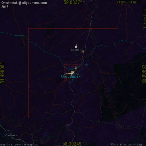
Analysis of Omutninsk night lights 2016
Square area 10x10 km:
 0%
0%90-99
0%80-89
0%70-79
0.45%60-69
2.61%50-59
1.47%40-49
0.57%30-39
1.25%20-29
0%10-19
0%0-9
93.65%Square area 50x50 km:
0.02%90-99
0.03%80-89
0%70-79
0.02%60-69
0.1%50-59
0.07%40-49
0.09%30-39
0.05%20-29
0%10-19
0%0-9
99.62%Clear (daylight) street map image can be seen on geolist.org.
Map coordinates:
59° 2' 1.3" North, 51° 29' 24.3" East
58° 40' 12" North, 52° 11' 35.5" East
58° 18' 9" North, 52° 53' 46.8" East
Some cities around Omutninsk sort by population:
• Glazov
64.9 km =40.3 mi,  155°
155°
• Zuyevka
68.2 km =42.4 mi,  244°
244°
• Belaya Kholunitsa
79.6 km =49.5 mi,  283°
283°
• Kirs
74.4 km =46.2 mi,  2°
2°
• Vostochnyy
13.5 km =8.4 mi,  12°
12°
• Yar
47.4 km =29.5 mi,  186°
186°
• Peskovka
42.8 km =26.6 mi, 13°
• Falënki
48.9 km =30.4 mi,  225°
225°
515267 (p: 25,364)
Sources (retrieved 2019-11-25):
» Earth at Night: Flat Maps 2012, 2016