Vurnary night lights from space
Night Light of Vurnary (Chuvashia) from space (Russia) Src. Average luminocity for 10x10km area is 0% and for 50x50km: 0.0252%.
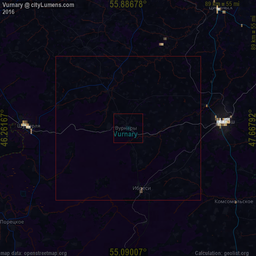
Analysis of Vurnary night lights 2016
Square area 10x10 km:
 0%
0%90-99
0%80-89
0%70-79
0%60-69
0%50-59
0%40-49
0%30-39
0%20-29
0%10-19
0%0-9
100%Square area 50x50 km:
0%90-99
0%80-89
0%70-79
0%60-69
0%50-59
0%40-49
0.02%30-39
0.04%20-29
0%10-19
0%0-9
99.94%Clear (daylight) street map image can be seen on geolist.org.
Map coordinates:
55° 53' 12.4" North, 46° 15' 42" East
55° 29' 25.6" North, 46° 57' 53.2" East
55° 5' 24.3" North, 47° 40' 4.5" East
Some cities around Vurnary sort by population:
• Kanash
33.2 km =20.6 mi,  86°
86°
• Shumerlya
34.8 km =21.6 mi,  271°
271°
• Tsivil’sk
53.1 km =33 mi,  37°
37°
• Kugesi
63.3 km =39.3 mi,  18°
18°
• Ibresi
21.6 km =13.4 mi,  167°
167°
• Poretskoye
51.7 km =32.1 mi,  230°
230°
• Urmary
65 km =40.4 mi,  71°
71°
• Batyrevo
62.3 km =38.7 mi,  138°
138°
470845 (p: 10,825)
Sources (retrieved 2019-11-25):
» Earth at Night: Flat Maps 2012, 2016