Batyrevo night lights from space
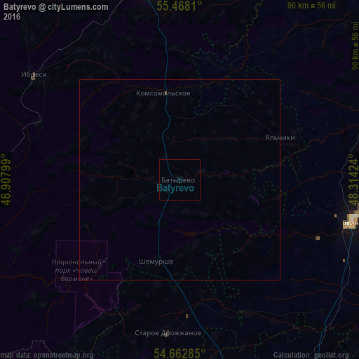
Night Light of Batyrevo (Chuvashia) from space (Russia) Src. Average luminocity for 10x10km area is 0.0677% and for 50x50km: 0.0117%.
Analysis of Batyrevo night lights 2016
Square area 10x10 km:
 0%
0%90-99
0%80-89
0%70-79
0%60-69
0%50-59
0%40-49
0%30-39
0%20-29
0%10-19
0.5%0-9
99.5%Square area 50x50 km:
0%90-99
0%80-89
0%70-79
0%60-69
0%50-59
0%40-49
0.02%30-39
0%20-29
0%10-19
0.02%0-9
99.96%Clear (daylight) street map image can be seen on geolist.org.
Map coordinates:
55° 28' 5.2" North, 46° 54' 28.8" East
55° 4' 3" North, 47° 36' 40" East
54° 39' 46.3" North, 48° 18' 51.3" East
Some cities around Batyrevo sort by population:
• Kanash
49.7 km =30.9 mi,  351°
351°
• Alatyr’
70.4 km =43.7 mi,  249°
249°
• Buinsk
44.7 km =27.8 mi,  103°
103°
• Tetyushi
79.5 km =49.4 mi, 100°
• Vurnary
62.3 km =38.7 mi,  318°
318°
• Isheyevka
82.6 km =51.3 mi,  149°
149°
• Ibresi
44.7 km =27.8 mi,  305°
305°
• Urmary
71.2 km =44.2 mi,  17°
17°
578659 (p: 5,648)
Sources (retrieved 2019-11-25):
» Earth at Night: Flat Maps 2012, 2016