Poretskoye night lights from space
Night Light of Poretskoye (Chuvashia) from space (Russia) Src. Average luminocity for 10x10km area is 0% and for 50x50km: 0.0173%.
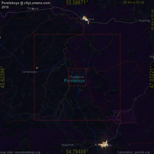
Analysis of Poretskoye night lights 2016
Square area 10x10 km:
 0%
0%90-99
0%80-89
0%70-79
0%60-69
0%50-59
0%40-49
0%30-39
0%20-29
0%10-19
0%0-9
100%Square area 50x50 km:
0%90-99
0%80-89
0%70-79
0%60-69
0%50-59
0%40-49
0.02%30-39
0.02%20-29
0%10-19
0%0-9
99.96%Clear (daylight) street map image can be seen on geolist.org.
Map coordinates:
55° 35' 48.2" North, 45° 37' 33.5" East
55° 11' 50.7" North, 46° 19' 44.7" East
54° 47' 38.7" North, 47° 1' 56" East
Some cities around Poretskoye sort by population:
• Alatyr’
42.7 km =26.5 mi,  157°
157°
• Shumerlya
34.1 km =21.2 mi,  8°
8°
• Vurnary
51.7 km =32.1 mi,  50°
50°
• Ibresi
46.4 km =28.8 mi,  75°
75°
• Ardatov
39.3 km =24.4 mi,  188°
188°
• Pil’na
47.3 km =29.4 mi,  327°
327°
• Turgenevo
39.1 km =24.3 mi,  179°
179°
• Sechenovo
28 km =17.4 mi,  276°
276°
506286 (p: 6,420)
Sources (retrieved 2019-11-25):
» Earth at Night: Flat Maps 2012, 2016