Shumerlya night lights from space
Night Light of Shumerlya (Chuvashia) from space (Russia) Src. Average luminocity for 10x10km area is 5.7218% and for 50x50km: 0.2286%.
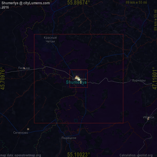
Analysis of Shumerlya night lights 2016
Square area 10x10 km:
 0%
0%90-99
1.13%80-89
1.38%70-79
1%60-69
1.38%50-59
0.88%40-49
0.25%30-39
0.5%20-29
0%10-19
0%0-9
93.48%Square area 50x50 km:
0%90-99
0.04%80-89
0.05%70-79
0.04%60-69
0.05%50-59
0.03%40-49
0.01%30-39
0.02%20-29
0%10-19
0%0-9
99.74%Clear (daylight) street map image can be seen on geolist.org.
Map coordinates:
55° 53' 48.3" North, 45° 42' 35.1" East
55° 30' 1.8" North, 46° 24' 46.4" East
55° 6' 0.8" North, 47° 6' 57.6" East
Some cities around Shumerlya sort by population:
• Kanash
67.9 km =42.2 mi,  89°
89°
• Sergach
59.7 km =37.1 mi,  273°
273°
• Vurnary
34.8 km =21.6 mi, 91°
• Yadrin
50.6 km =31.4 mi,  345°
345°
• Ibresi
45.3 km =28.1 mi,  119°
119°
• Pil’na
31.5 km =19.6 mi,  280°
280°
• Poretskoye
34.1 km =21.2 mi,  188°
188°
• Sechenovo
45.1 km =28 mi,  227°
227°
493463 (p: 35,220)
Sources (retrieved 2019-11-25):
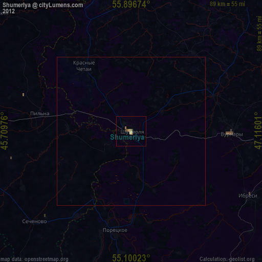
» Earth at Night: Flat Maps 2012, 2016