Urmary night lights from space
Night Light of Urmary (Chuvashia) from space (Russia) Src. Average luminocity for 10x10km area is 0% and for 50x50km: 0.2654%.
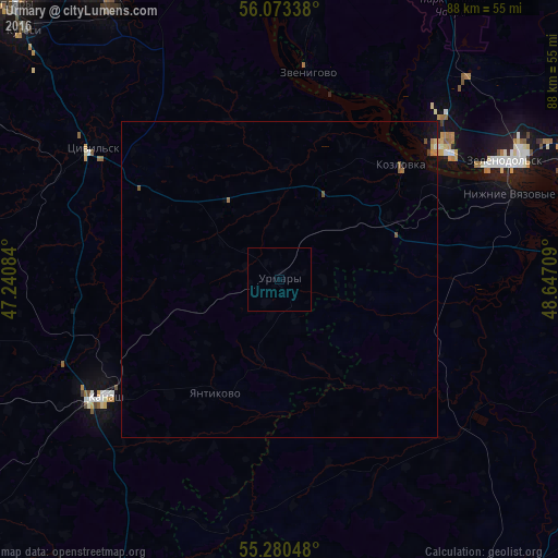
Analysis of Urmary night lights 2016
Square area 10x10 km:
 0%
0%90-99
0%80-89
0%70-79
0%60-69
0%50-59
0%40-49
0%30-39
0%20-29
0%10-19
0%0-9
100%Square area 50x50 km:
0%90-99
0.02%80-89
0.02%70-79
0.02%60-69
0.09%50-59
0.09%40-49
0.03%30-39
0.01%20-29
0%10-19
0.2%0-9
99.51%Clear (daylight) street map image can be seen on geolist.org.
Map coordinates:
56° 4' 24.2" North, 47° 14' 27" East
55° 40' 44.2" North, 47° 56' 38.3" East
55° 16' 49.7" North, 48° 38' 49.5" East
Some cities around Urmary sort by population:
• Zelenodolsk
40.3 km =25 mi,  62°
62°
• Volzhsk
33.3 km =20.7 mi,  51°
51°
• Kanash
34.1 km =21.2 mi,  236°
236°
• Tsivil’sk
36 km =22.4 mi,  306°
306°
• Zvenigovo
33.2 km =20.6 mi,  7°
7°
• Kozlovka
26.4 km =16.4 mi, 46°
• Mariinskiy Posad
50.5 km =31.4 mi,  343°
343°
• Nizhniye Vyazovyye
38.7 km =24 mi,  69°
69°
478689 (p: 6,256)
Sources (retrieved 2019-11-25):
» Earth at Night: Flat Maps 2012, 2016