Volosovo night lights from space
Night Light of Volosovo (Leningradskaya Oblast') from space (Russia) Src. Average luminocity for 10x10km area is 4.2154% and for 50x50km: 0.9199%.
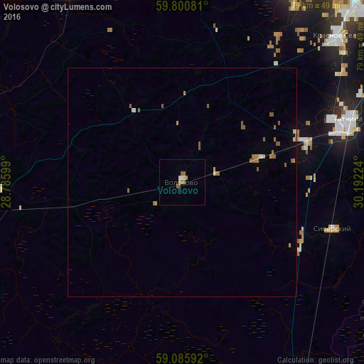
Analysis of Volosovo night lights 2016
Square area 10x10 km:
 0.32%
0.32%90-99
0.54%80-89
0.65%70-79
0.65%60-69
1.08%50-59
1.52%40-49
0%30-39
0%20-29
0%10-19
0%0-9
95.24%Square area 50x50 km:
0.07%90-99
0.06%80-89
0.07%70-79
0.16%60-69
0.29%50-59
0.43%40-49
0%30-39
0%20-29
0%10-19
0.01%0-9
98.91%Clear (daylight) street map image can be seen on geolist.org.
Map coordinates:
59° 48' 2.9" North, 28° 47' 9.6" East
59° 26' 42.9" North, 29° 29' 20.8" East
59° 5' 9.3" North, 30° 11' 32.1" East
Some cities around Volosovo sort by population:
• Gatchina
38.9 km =24.2 mi,  67°
67°
• Kingisepp
50.2 km =31.2 mi,  260°
260°
• Krasnoye Selo
46.9 km =29.1 mi,  46°
46°
• Siverskiy
34.8 km =21.6 mi,  106°
106°
• Vyritsa
48.8 km =30.3 mi,  94°
94°
• Ol’gino
49.9 km =31 mi,  29°
29°
• Gorbunki
49.5 km =30.8 mi, 34°
• Mariyenburg
35.4 km =22 mi, 66°
472357 (p: 12,096)
Sources (retrieved 2019-11-25):
» Earth at Night: Flat Maps 2012, 2016