Krasnoye Selo night lights from space
Night Light of Krasnoye Selo (St.-Petersburg) from space (Russia) Src. Average luminocity for 10x10km area is 46.408% and for 50x50km: 35.8621%.
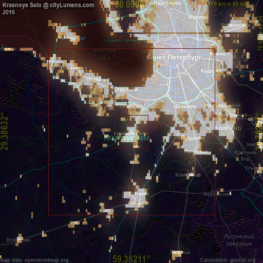
Analysis of Krasnoye Selo night lights 2016
Square area 10x10 km:
 10.06%
90-99
13.31%80-89
5.41%70-79
3.79%60-69
3.46%50-59
0.54%40-49
2.71%30-39
12.01%20-29
18.72%10-19
22.94%0-9
7.03%Square area 50x50 km:
17.64%90-99
7.07%80-89
2.05%70-79
2.22%60-69
1.51%50-59
2.23%40-49
1.07%30-39
3.18%20-29
7.85%10-19
10.67%0-9
44.5%Clear (daylight) street map image can be seen on geolist.org.
Map coordinates:
60° 5' 26.9" North, 29° 23' 10.8" East
59° 44' 18" North, 30° 5' 22" East
59° 22' 55.6" North, 30° 47' 33.3" East
Some cities around Krasnoye Selo sort by population:
• Pushkin
17.4 km =10.8 mi,  98°
98°
• Dachnoye
14.8 km =9.2 mi,  39°
39°
• Uritsk
12.2 km =7.6 mi,  23°
23°
• Sosnovaya Polyana
11.2 km =7 mi, 16°
• Gorelovo
4.5 km =2.8 mi,  33°
33°
• Strel'na
13 km =8.1 mi,  346°
346°
• Ol’gino
14.4 km =8.9 mi,  319°
319°
• Gorbunki
10.2 km =6.3 mi, 324°
542000 (p: 44,323)
Sources (retrieved 2019-11-25):
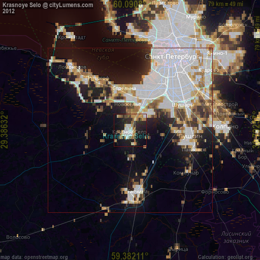
» Earth at Night: Flat Maps 2012, 2016