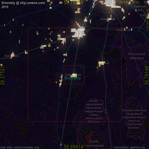
Siverskiy night lights from space
Night Light of Siverskiy (Leningradskaya Oblast') from space (Russia) Src. Average luminocity for 10x10km area is 5.5942% and for 50x50km: 3.3241%.
Analysis of Siverskiy night lights 2016
Square area 10x10 km:
 0.54%
0.54%90-99
0.32%80-89
2.38%70-79
1.62%60-69
0.32%50-59
0%40-49
0%30-39
0%20-29
0%10-19
0%0-9
94.81%Square area 50x50 km:
0.62%90-99
0.65%80-89
0.45%70-79
0.46%60-69
0.44%50-59
0.35%40-49
0.03%30-39
0.06%20-29
0.46%10-19
1.52%0-9
94.96%Clear (daylight) street map image can be seen on geolist.org.
Map coordinates:
59° 42' 39.4" North, 29° 22' 30.8" East
59° 21' 16" North, 30° 4' 42" East
58° 59' 38.9" North, 30° 46' 53.3" East
Some cities around Siverskiy sort by population:
• Pushkin
43.8 km =27.2 mi,  24°
24°
• Gatchina
24.8 km =15.4 mi,  6°
6°
• Krasnoye Selo
42.7 km =26.5 mi,  0°
0°
• Kommunar
34.4 km =21.4 mi,  30°
30°
• Pavlovsk
41.7 km =25.9 mi, 28°
• Volosovo
34.8 km =21.6 mi,  286°
286°
• Vyritsa
16.4 km =10.2 mi,  68°
68°
• Mariyenburg
24.1 km =15 mi,  358°
358°
492579 (p: 12,076)
Sources (retrieved 2019-11-25):
» Earth at Night: Flat Maps 2012, 2016