Verkhovazh’ye night lights from space
Night Light of Verkhovazh’ye (Vologda) from space (Russia) Src. Average luminocity for 10x10km area is 0% and for 50x50km: 0%.
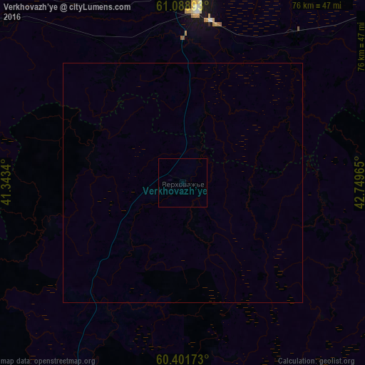
Analysis of Verkhovazh’ye night lights 2016
Square area 10x10 km:
 0%
0%90-99
0%80-89
0%70-79
0%60-69
0%50-59
0%40-49
0%30-39
0%20-29
0%10-19
0%0-9
100%Square area 50x50 km:
0%90-99
0%80-89
0%70-79
0%60-69
0%50-59
0%40-49
0%30-39
0%20-29
0%10-19
0%0-9
100%Clear (daylight) street map image can be seen on geolist.org.
Map coordinates:
61° 5' 20.1" North, 41° 20' 36.2" East
60° 44' 49.8" North, 42° 2' 47.5" East
60° 24' 6.2" North, 42° 44' 58.7" East
Some cities around Verkhovazh’ye sort by population:
• Vel’sk
36 km =22.4 mi,  4°
4°
• Nyandoma
142.1 km =88.3 mi,  315°
315°
• Konosha
100.1 km =62.2 mi,  284°
284°
• Kharovsk
134.1 km =83.3 mi,  229°
229°
• Tot’ma
94.6 km =58.8 mi,  155°
155°
• Vozhega
104.2 km =64.7 mi,  252°
252°
• Kuloy
39.7 km =24.7 mi,  37°
37°
• Tarnogskiy Gorodok
87.8 km =54.6 mi,  108°
108°
474354 (p: 5,200)
Sources (retrieved 2019-11-25):
» Earth at Night: Flat Maps 2012, 2016