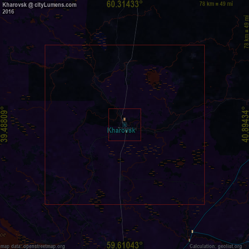
Kharovsk night lights from space
Night Light of Kharovsk (Vologda) from space (Russia) Src. Average luminocity for 10x10km area is 0.4275% and for 50x50km: 0.0171%.
Analysis of Kharovsk night lights 2016
Square area 10x10 km:
 0%
0%90-99
0%80-89
0%70-79
0%60-69
0.43%50-59
0%40-49
0%30-39
0%20-29
0.43%10-19
0%0-9
99.13%Square area 50x50 km:
0%90-99
0%80-89
0%70-79
0%60-69
0.02%50-59
0%40-49
0%30-39
0%20-29
0.02%10-19
0%0-9
99.97%Clear (daylight) street map image can be seen on geolist.org.
Map coordinates:
60° 18' 51.6" North, 39° 29' 17.1" East
59° 57' 51.3" North, 40° 11' 28.4" East
59° 36' 37.5" North, 40° 53' 39.6" East
Some cities around Kharovsk sort by population:
• Vologda
84.1 km =52.3 mi,  191°
191°
• Sokol
56 km =34.8 mi,  184°
184°
• Gryazovets
120.6 km =74.9 mi, 178°
• Konosha
112.3 km =69.8 mi,  1°
1°
• Molochnoye
80.1 km =49.8 mi,  201°
201°
• Kirillov
101.5 km =63.1 mi,  263°
263°
• Vozhega
56.5 km =35.1 mi, 1°
• Kadnikov
52 km =32.3 mi,  170°
170°
550512 (p: 11,115)
Sources (retrieved 2019-11-25):
» Earth at Night: Flat Maps 2012, 2016