Tarnogskiy Gorodok night lights from space
Night Light of Tarnogskiy Gorodok (Vologda) from space (Russia) Src. Average luminocity for 10x10km area is 0% and for 50x50km: 0%.
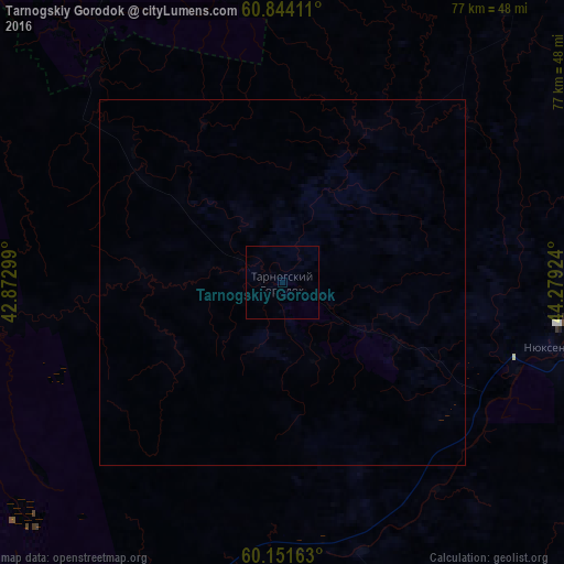
Analysis of Tarnogskiy Gorodok night lights 2016
Square area 10x10 km:
 0%
0%90-99
0%80-89
0%70-79
0%60-69
0%50-59
0%40-49
0%30-39
0%20-29
0%10-19
0%0-9
100%Square area 50x50 km:
0%90-99
0%80-89
0%70-79
0%60-69
0%50-59
0%40-49
0%30-39
0%20-29
0%10-19
0%0-9
100%Clear (daylight) street map image can be seen on geolist.org.
Map coordinates:
60° 50' 38.8" North, 42° 52' 22.8" East
60° 29' 59" North, 43° 34' 34" East
60° 9' 5.9" North, 44° 16' 45.3" East
Some cities around Tarnogskiy Gorodok sort by population:
• Velikiy Ustyug
152.1 km =94.5 mi,  78°
78°
• Mirnyy
106.2 km =66 mi,  29°
29°
• Vel’sk
102.2 km =63.5 mi,  308°
308°
• Tot’ma
73.7 km =45.8 mi,  217°
217°
• Nikol’sk
149.7 km =93 mi,  135°
135°
• Kichmengskiy Gorodok
134.8 km =83.8 mi,  115°
115°
• Kuloy
83.3 km =51.8 mi,  315°
315°
• Verkhovazh’ye
87.8 km =54.6 mi,  288°
288°
484314 (p: 5,432)
Sources (retrieved 2019-11-25):
» Earth at Night: Flat Maps 2012, 2016