Vel’sk night lights from space
Night Light of Vel’sk (Arkhangelskaya) from space (Russia) Src. Average luminocity for 10x10km area is 19.0541% and for 50x50km: 0.8284%.
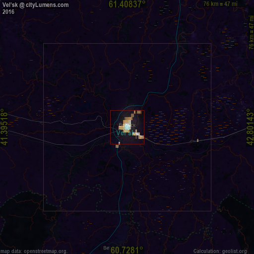

Analysis of Vel’sk night lights 2016
Square area 10x10 km:
 1.52%
1.52%90-99
2.6%80-89
3.14%70-79
4.33%60-69
3.46%50-59
2.6%40-49
0.87%30-39
0.22%20-29
0.32%10-19
20.02%0-9
60.93%Square area 50x50 km:
0.06%90-99
0.1%80-89
0.12%70-79
0.17%60-69
0.14%50-59
0.16%40-49
0.03%30-39
0.01%20-29
0.01%10-19
0.78%0-9
98.42%Clear (daylight) street map image can be seen on geolist.org.
Map coordinates:
61° 24' 30.1" North, 41° 23' 42.6" East
61° 4' 12.2" North, 42° 5' 53.9" East
60° 43' 41.2" North, 42° 48' 5.1" East
Some cities around Vel’sk sort by population:
• Nyandoma
120.8 km =75.1 mi,  303°
303°
• Konosha
99.8 km =62 mi,  263°
263°
• Tot’ma
127.2 km =79 mi,  163°
163°
• Vozhega
121.6 km =75.6 mi,  236°
236°
• Kuloy
21.7 km =13.5 mi,  101°
101°
• Shenkursk
123 km =76.4 mi,  20°
20°
• Tarnogskiy Gorodok
102.2 km =63.5 mi,  128°
128°
• Verkhovazh’ye
36 km =22.4 mi,  184°
184°
475938 (p: 23,126)
Sources (retrieved 2019-11-25):
» Earth at Night: Flat Maps 2012, 2016