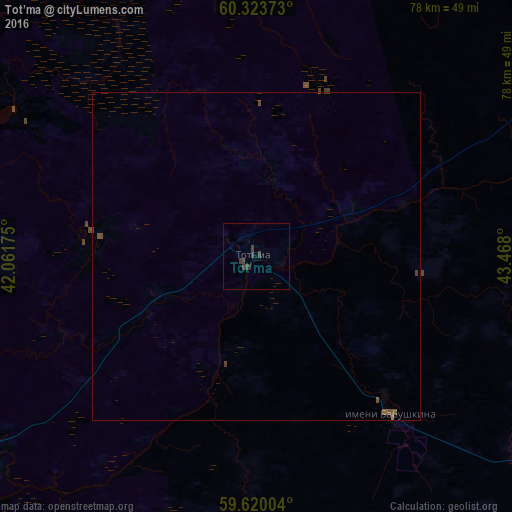
Tot’ma night lights from space
Night Light of Tot’ma (Vologda) from space (Russia) Src. Average luminocity for 10x10km area is 1.3788% and for 50x50km: 0.1783%.
Analysis of Tot’ma night lights 2016
Square area 10x10 km:
 0%
0%90-99
0%80-89
0%70-79
0%60-69
0%50-59
0%40-49
0.32%30-39
3.14%20-29
0%10-19
0%0-9
96.54%Square area 50x50 km:
0%90-99
0%80-89
0%70-79
0%60-69
0.02%50-59
0.05%40-49
0.14%30-39
0.17%20-29
0%10-19
0%0-9
99.63%Clear (daylight) street map image can be seen on geolist.org.
Map coordinates:
60° 19' 25.4" North, 42° 3' 42.3" East
59° 58' 25.5" North, 42° 45' 53.5" East
59° 37' 12.1" North, 43° 28' 4.8" East
Some cities around Tot’ma sort by population:
• Vel’sk
127.2 km =79 mi,  343°
343°
• Kharovsk
143.2 km =89 mi,  269°
269°
• Soligalich
103 km =64 mi,  195°
195°
• Kuloy
118.4 km =73.6 mi,  352°
352°
• Tarnogskiy Gorodok
73.7 km =45.8 mi,  37°
37°
• Chukhloma
135.7 km =84.3 mi,  181°
181°
• Kadnikov
145.7 km =90.5 mi,  248°
248°
• Verkhovazh’ye
94.6 km =58.8 mi, 335°
481960 (p: 10,500)
Sources (retrieved 2019-11-25):
» Earth at Night: Flat Maps 2012, 2016