Kuloy night lights from space
Night Light of Kuloy (Arkhangelskaya) from space (Russia) Src. Average luminocity for 10x10km area is 0.2424% and for 50x50km: 0.8276%.
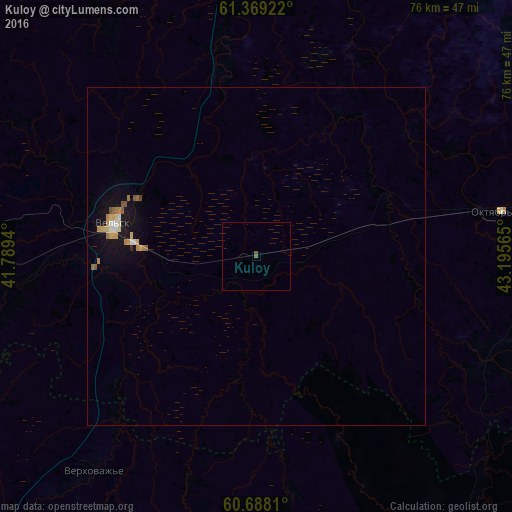
Analysis of Kuloy night lights 2016
Square area 10x10 km:
 0%
0%90-99
0%80-89
0%70-79
0%60-69
0%50-59
0.43%40-49
0%30-39
0%20-29
0%10-19
0%0-9
99.57%Square area 50x50 km:
0.06%90-99
0.1%80-89
0.12%70-79
0.17%60-69
0.14%50-59
0.16%40-49
0.03%30-39
0.01%20-29
0.01%10-19
0.78%0-9
98.42%Clear (daylight) street map image can be seen on geolist.org.
Map coordinates:
61° 22' 9.2" North, 41° 47' 21.8" East
61° 1' 49.8" North, 42° 29' 33.1" East
60° 41' 17.2" North, 43° 11' 44.3" East
Some cities around Kuloy sort by population:
• Mirnyy
114.6 km =71.2 mi,  72°
72°
• Vel’sk
21.7 km =13.5 mi,  281°
281°
• Konosha
120.7 km =75 mi,  266°
266°
• Tot’ma
118.4 km =73.6 mi,  172°
172°
• Vozhega
138.1 km =85.8 mi,  243°
243°
• Shenkursk
121.8 km =75.7 mi,  10°
10°
• Tarnogskiy Gorodok
83.3 km =51.8 mi,  135°
135°
• Verkhovazh’ye
39.7 km =24.7 mi,  217°
217°
539385 (p: 6,557)
Sources (retrieved 2019-11-25):
» Earth at Night: Flat Maps 2012, 2016