Nyandoma night lights from space
Night Light of Nyandoma (Arkhangelskaya) from space (Russia) Src. Average luminocity for 10x10km area is 4.7994% and for 50x50km: 0.1988%.
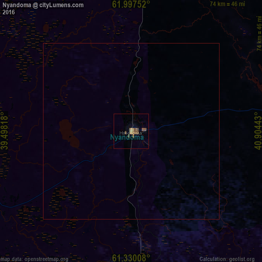
Analysis of Nyandoma night lights 2016
Square area 10x10 km:
 0%
0%90-99
0%80-89
0%70-79
0.79%60-69
1.88%50-59
1.38%40-49
3.06%30-39
0%20-29
0%10-19
0%0-9
92.89%Square area 50x50 km:
0%90-99
0%80-89
0%70-79
0.03%60-69
0.08%50-59
0.06%40-49
0.13%30-39
0%20-29
0%10-19
0%0-9
99.71%Clear (daylight) street map image can be seen on geolist.org.
Map coordinates:
61° 59' 51.1" North, 39° 29' 53.4" East
61° 39' 56.2" North, 40° 12' 4.7" East
61° 19' 48.3" North, 40° 54' 15.9" East
Some cities around Nyandoma sort by population:
• Mirnyy
122.3 km =76 mi,  3°
3°
• Vel’sk
120.8 km =75.1 mi,  123°
123°
• Konosha
77 km =47.8 mi,  177°
177°
• Kargopol’
68.7 km =42.7 mi,  254°
254°
• Plesetsk
116 km =72.1 mi, 2°
• Vozhega
132.7 km =82.5 mi, 179°
• Kuloy
141.1 km =87.7 mi, 120°
• Verkhovazh’ye
142.1 km =88.3 mi,  135°
135°
516647 (p: 22,179)
Sources (retrieved 2019-11-25):
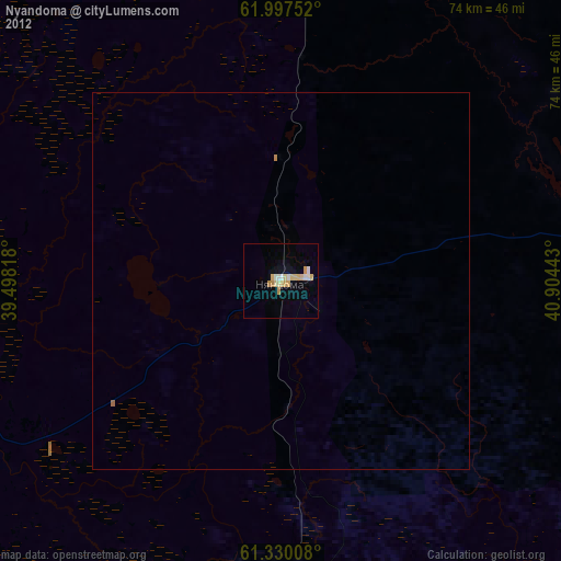
» Earth at Night: Flat Maps 2012, 2016