Konosha night lights from space
Night Light of Konosha (Arkhangelskaya) from space (Russia) Src. Average luminocity for 10x10km area is 1.2293% and for 50x50km: 0.0496%.
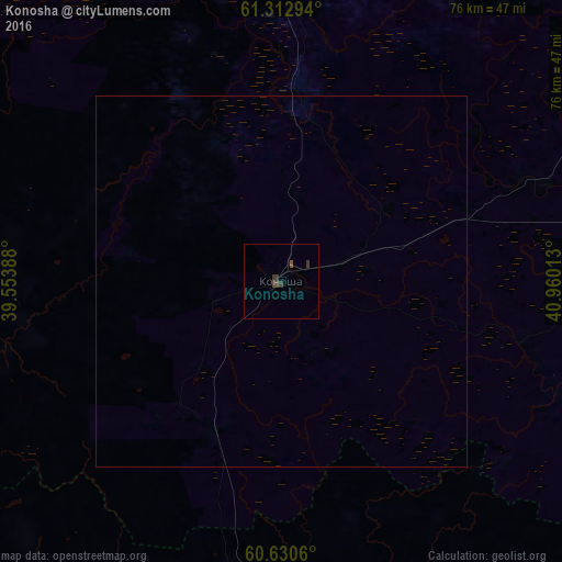
Analysis of Konosha night lights 2016
Square area 10x10 km:
 0%
0%90-99
0%80-89
0%70-79
0%60-69
0%50-59
0.41%40-49
0.83%30-39
1.65%20-29
0%10-19
0%0-9
97.11%Square area 50x50 km:
0%90-99
0%80-89
0%70-79
0%60-69
0%50-59
0.02%40-49
0.03%30-39
0.07%20-29
0%10-19
0%0-9
99.88%Clear (daylight) street map image can be seen on geolist.org.
Map coordinates:
61° 18' 46.6" North, 39° 33' 14" East
60° 58' 25" North, 40° 15' 25.2" East
60° 37' 50.2" North, 40° 57' 36.5" East
Some cities around Konosha sort by population:
• Vel’sk
99.8 km =62 mi,  83°
83°
• Nyandoma
77 km =47.8 mi,  357°
357°
• Kharovsk
112.3 km =69.8 mi,  181°
181°
• Kargopol’
91.5 km =56.9 mi,  310°
310°
• Kirillov
160.8 km =99.9 mi,  219°
219°
• Vozhega
55.8 km =34.7 mi, 181°
• Kuloy
120.7 km =75 mi,  86°
86°
• Verkhovazh’ye
100.1 km =62.2 mi,  104°
104°
545353 (p: 12,383)
Sources (retrieved 2019-11-25):
» Earth at Night: Flat Maps 2012, 2016