Sukhodol night lights from space
Night Light of Sukhodol (Samara Oblast) from space (Russia) Src. Average luminocity for 10x10km area is 19.1442% and for 50x50km: 1.1005%.
Analysis of Sukhodol night lights 2016
Square area 10x10 km:
 2.12%
2.12%90-99
2.38%80-89
1.06%70-79
5.69%60-69
2.78%50-59
1.98%40-49
2.12%30-39
1.59%20-29
0.13%10-19
20.5%0-9
59.66%Square area 50x50 km:
0.09%90-99
0.14%80-89
0.11%70-79
0.28%60-69
0.16%50-59
0.15%40-49
0.1%30-39
0.09%20-29
0.08%10-19
0.9%0-9
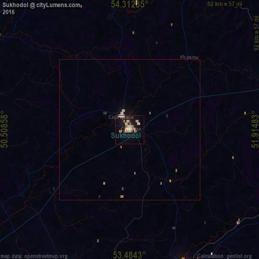
97.92%Clear (daylight) street map image can be seen on geolist.org.
Map coordinates:
54° 18' 46.3" North, 50° 30' 30.9" East
53° 54' 2.3" North, 51° 12' 42.1" East
53° 29' 3.5" North, 51° 54' 53.4" East
Some cities around Sukhodol sort by population:
• Otradnyy
59 km =36.7 mi,  171°
171°
• Nurlat
64.3 km =40 mi,  335°
335°
• Pokhvistnevo
66.2 km =41.1 mi,  114°
114°
• Kinel’-Cherkassy
50.8 km =31.6 mi,  160°
160°
• Koshki
59.5 km =37 mi,  305°
305°
• Shentala
63.6 km =39.5 mi,  16°
16°
• Klyavlino
66.8 km =41.5 mi,  52°
52°
• Chelno-Vershiny
57.8 km =35.9 mi,  351°
351°
486626 (p: 14,296)
Sources (retrieved 2019-11-25):
» Earth at Night: Flat Maps 2012, 2016