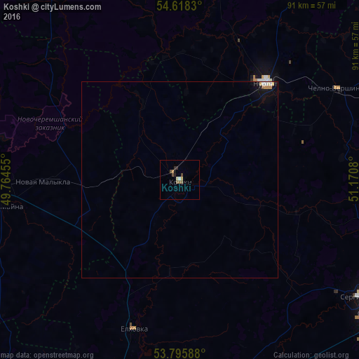
Koshki night lights from space
Night Light of Koshki (Samara Oblast) from space (Russia) Src. Average luminocity for 10x10km area is 4.6508% and for 50x50km: 0.4715%.
Analysis of Koshki night lights 2016
Square area 10x10 km:
 0%
0%90-99
0.53%80-89
0.53%70-79
1.06%60-69
0.13%50-59
1.72%40-49
1.32%30-39
0.4%20-29
1.19%10-19
0.53%0-9
92.59%Square area 50x50 km:
0.04%90-99
0.07%80-89
0.07%70-79
0.08%60-69
0.07%50-59
0.09%40-49
0.05%30-39
0.02%20-29
0.05%10-19
0.24%0-9
99.25%Clear (daylight) street map image can be seen on geolist.org.
Map coordinates:
54° 37' 5.9" North, 49° 45' 52.4" East
54° 12' 32.9" North, 50° 28' 3.6" East
53° 47' 45.2" North, 51° 10' 14.9" East
Some cities around Koshki sort by population:
• Dimitrovgrad
55.2 km =34.3 mi,  270°
270°
• Nurlat
32.7 km =20.3 mi,  42°
42°
• Sukhodol
59.5 km =37 mi,  125°
125°
• Krasnyy Yar
79 km =49.1 mi,  183°
183°
• Shentala
71.1 km =44.2 mi,  67°
67°
• Novaya Mayna
47.2 km =29.3 mi,  261°
261°
• Mullovka
69.4 km =43.1 mi, 269°
• Chelno-Vershiny
46.2 km =28.7 mi,  60°
60°
544203 (p: 8,086)
Sources (retrieved 2019-11-25):
» Earth at Night: Flat Maps 2012, 2016