Otradnyy night lights from space
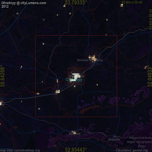
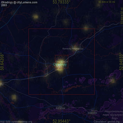
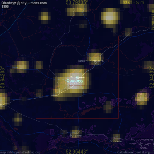
Night Light of Otradnyy (Samara Oblast) from space (Russia) Src. Average luminocity for 10x10km area is 29.119% and for 50x50km: 2.7708%.
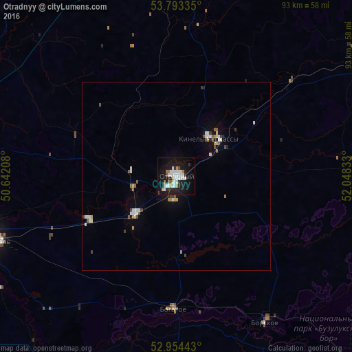
Analysis of Otradnyy night lights 2016
Square area 10x10 km:
 8.47%
8.47%90-99
7.41%80-89
1.06%70-79
1.32%60-69
2.78%50-59
1.19%40-49
1.06%30-39
1.72%20-29
5.95%10-19
35.85%0-9
33.2%Square area 50x50 km:
0.54%90-99
0.63%80-89
0.18%70-79
0.16%60-69
0.25%50-59
0.33%40-49
0.24%30-39
0.22%20-29
0.3%10-19
1.85%0-9
95.29%Clear (daylight) street map image can be seen on geolist.org.
Map coordinates:
53° 47' 36.1" North, 50° 38' 31.5" East
53° 22' 33.5" North, 51° 20' 42.7" East
52° 57' 15.9" North, 52° 2' 54" East
Some cities around Otradnyy sort by population:
• Kinel’
50.4 km =31.3 mi,  250°
250°
• Pokhvistnevo
60.2 km =37.4 mi,  59°
59°
• Kinel’-Cherkassy
13.6 km =8.5 mi,  39°
39°
• Sukhodol
59 km =36.7 mi,  351°
351°
• Borskoye
45.4 km =28.2 mi,  147°
147°
• Krasnyy Yar
64.5 km =40.1 mi,  282°
282°
• Bogatoye
35.1 km =21.8 mi,  181°
181°
• Krotovka
15.4 km =9.6 mi,  229°
229°
513883 (p: 50,127)
Sources (retrieved 2019-11-25):
» NASA, Earths city lights 1995
» NASA city lights 2003
» Earth at Night: Flat Maps 2012, 2016