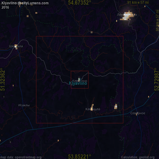
Klyavlino night lights from space
Night Light of Klyavlino (Samara Oblast) from space (Russia) Src. Average luminocity for 10x10km area is 0.9236% and for 50x50km: 0.2773%.
Analysis of Klyavlino night lights 2016
Square area 10x10 km:
 0%
0%90-99
0%80-89
0.5%70-79
0%60-69
0.38%50-59
0.13%40-49
0%30-39
0%20-29
0.38%10-19
0.13%0-9
98.5%Square area 50x50 km:
0.03%90-99
0.02%80-89
0.06%70-79
0.09%60-69
0.04%50-59
0.1%40-49
0%30-39
0%20-29
0.03%10-19
0.01%0-9
99.64%Clear (daylight) street map image can be seen on geolist.org.
Map coordinates:
54° 40' 24.7" North, 51° 19' 25" East
54° 15' 53.7" North, 52° 1' 36.3" East
53° 51' 8" North, 52° 43' 47.5" East
Some cities around Klyavlino sort by population:
• Bugul’ma
58.4 km =36.3 mi,  58°
58°
• Leninogorsk
46.9 km =29.1 mi,  36°
36°
• Pokhvistnevo
68.4 km =42.5 mi,  174°
174°
• Sukhodol
66.8 km =41.5 mi,  232°
232°
• Shentala
40.8 km =25.4 mi,  300°
300°
• Chelno-Vershiny
63.2 km =39.3 mi,  285°
285°
• Cheremshan
56.2 km =34.9 mi,  322°
322°
• Karabash
59.7 km =37.1 mi, 37°
547383 (p: 6,318)
Sources (retrieved 2019-11-25):
» Earth at Night: Flat Maps 2012, 2016