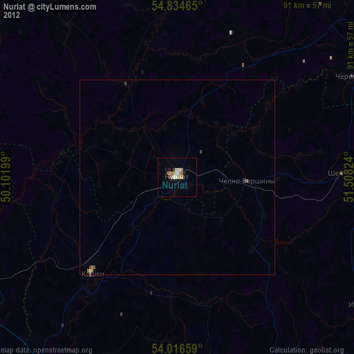
Nurlat night lights from space
Night Light of Nurlat (Tatarstan Republic) from space (Russia) Src. Average luminocity for 10x10km area is 14.9725% and for 50x50km: 0.8984%.
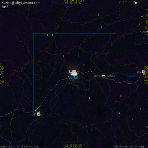
Analysis of Nurlat night lights 2016
Square area 10x10 km:
 2.15%
2.15%90-99
3.95%80-89
1.67%70-79
1.56%60-69
2.63%50-59
0.48%40-49
0%30-39
0%20-29
0.48%10-19
12.8%0-9
74.28%Square area 50x50 km:
0.09%90-99
0.18%80-89
0.09%70-79
0.16%60-69
0.11%50-59
0.09%40-49
0.1%30-39
0.02%20-29
0.07%10-19
0.57%0-9
98.5%Clear (daylight) street map image can be seen on geolist.org.
Map coordinates:
54° 50' 4.7" North, 50° 6' 7.2" East
54° 25' 39.6" North, 50° 48' 18.4" East
54° 0' 59.7" North, 51° 30' 29.7" East
Some cities around Nurlat sort by population:
• Dimitrovgrad
80.5 km =50 mi,  252°
252°
• Sukhodol
64.3 km =40 mi,  155°
155°
• Koshki
32.7 km =20.3 mi,  222°
222°
• Shentala
43.9 km =27.3 mi,  86°
86°
• Novaya Mayna
75.1 km =46.7 mi, 245°
• Chelno-Vershiny
18.2 km =11.3 mi, 94°
• Cheremshan
52.1 km =32.4 mi,  59°
59°
• Bazarnyye Mataki
75.6 km =47 mi,  312°
312°
516716 (p: 34,451)
Sources (retrieved 2019-11-25):
» Earth at Night: Flat Maps 2012, 2016