Pokhvistnevo night lights from space
Night Light of Pokhvistnevo (Samara Oblast) from space (Russia) Src. Average luminocity for 10x10km area is 17.5985% and for 50x50km: 2.0356%.
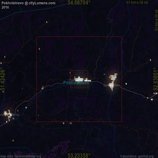
Analysis of Pokhvistnevo night lights 2016
Square area 10x10 km:
 5.81%
5.81%90-99
4.29%80-89
0%70-79
0.76%60-69
1.14%50-59
1.14%40-49
0%30-39
0.88%20-29
0.13%10-19
18.18%0-9
67.68%Square area 50x50 km:
0.4%90-99
0.48%80-89
0.1%70-79
0.24%60-69
0.18%50-59
0.14%40-49
0.06%30-39
0.09%20-29
0.12%10-19
2.05%0-9
96.13%Clear (daylight) street map image can be seen on geolist.org.
Map coordinates:
54° 4' 1.3" North, 51° 25' 27.3" East
53° 39' 8.5" North, 52° 7' 38.6" East
53° 14' 0.9" North, 52° 49' 49.8" East
Some cities around Pokhvistnevo sort by population:
• Buguruslan
20.7 km =12.9 mi,  89°
89°
• Otradnyy
60.2 km =37.4 mi,  239°
239°
• Kinel’-Cherkassy
47.6 km =29.6 mi, 244°
• Sukhodol
66.2 km =41.1 mi,  294°
294°
• Borskoye
74 km =46 mi,  201°
201°
• Klyavlino
68.4 km =42.5 mi,  354°
354°
• Krotovka
75.4 km =46.9 mi, 237°
• Asekeyevo
45 km =28 mi,  101°
101°
507624 (p: 28,300)
Sources (retrieved 2019-11-25):
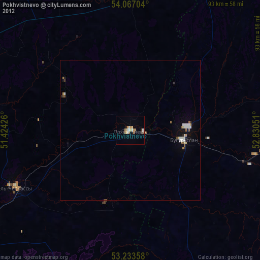
» Earth at Night: Flat Maps 2012, 2016