Shentala night lights from space
Night Light of Shentala (Samara Oblast) from space (Russia) Src. Average luminocity for 10x10km area is 2.6878% and for 50x50km: 0.2728%.
Analysis of Shentala night lights 2016
Square area 10x10 km:
 0.24%
0.24%90-99
0.72%80-89
0%70-79
0%60-69
0.84%50-59
1.08%40-49
0.48%30-39
0%20-29
0%10-19
0.48%0-9
96.17%Square area 50x50 km:
0.01%90-99
0.03%80-89
0.02%70-79
0%60-69
0.09%50-59
0.12%40-49
0.12%30-39
0.02%20-29
0%10-19
0.02%0-9
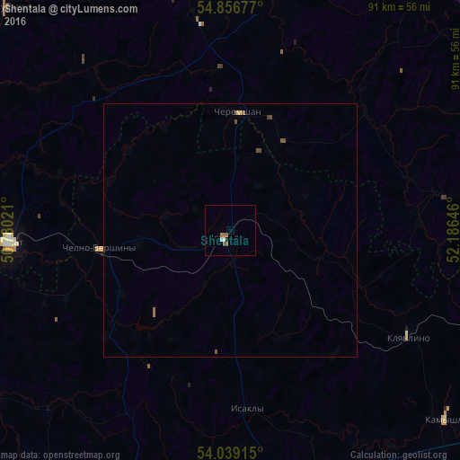
99.56%Clear (daylight) street map image can be seen on geolist.org.
Map coordinates:
54° 51' 24.4" North, 50° 46' 48.8" East
54° 27' 0" North, 51° 28' 60" East
54° 2' 20.9" North, 52° 11' 11.3" East
Some cities around Shentala sort by population:
• Al’met’yevsk
73.6 km =45.7 mi,  46°
46°
• Leninogorsk
65.3 km =40.6 mi,  74°
74°
• Nurlat
43.9 km =27.3 mi,  266°
266°
• Sukhodol
63.6 km =39.5 mi,  196°
196°
• Koshki
71.1 km =44.2 mi,  247°
247°
• Klyavlino
40.8 km =25.4 mi,  120°
120°
• Chelno-Vershiny
26 km =16.2 mi,  261°
261°
• Cheremshan
24.1 km =15 mi,  2°
2°
494877 (p: 6,595)
Sources (retrieved 2019-11-25):
» Earth at Night: Flat Maps 2012, 2016