Sterlibashevo night lights from space
Night Light of Sterlibashevo (Bashkortostan Republic) from space (Russia) Src. Average luminocity for 10x10km area is 0% and for 50x50km: 0.0128%.
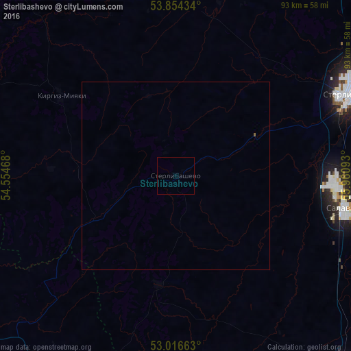
Analysis of Sterlibashevo night lights 2016
Square area 10x10 km:
 0%
0%90-99
0%80-89
0%70-79
0%60-69
0%50-59
0%40-49
0%30-39
0%20-29
0%10-19
0%0-9
100%Square area 50x50 km:
0%90-99
0%80-89
0%70-79
0%60-69
0%50-59
0.02%40-49
0%30-39
0%20-29
0%10-19
0%0-9
99.98%Clear (daylight) street map image can be seen on geolist.org.
Map coordinates:
53° 51' 15.6" North, 54° 33' 16.8" East
53° 26' 15.2" North, 55° 15' 28.1" East
53° 0' 59.9" North, 55° 57' 39.3" East
Some cities around Sterlibashevo sort by population:
• Salavat
43.5 km =27 mi,  97°
97°
• Ishimbay
51.9 km =32.2 mi,  87°
87°
• Meleuz
69.2 km =43 mi,  139°
139°
• Rayevskiy
72.8 km =45.2 mi,  343°
343°
• Tolbazy
77.1 km =47.9 mi,  32°
32°
• Sharlyk
67.1 km =41.7 mi,  210°
210°
• Kirgiz-Miyaki
37.3 km =23.2 mi,  305°
305°
• Bizhbulyak
71.7 km =44.6 mi,  293°
293°
487498 (p: 5,786)
Sources (retrieved 2019-11-25):
» Earth at Night: Flat Maps 2012, 2016