Salavat night lights from space
Night Light of Salavat (Bashkortostan Republic) from space (Russia) Src. Average luminocity for 10x10km area is 47.0437% and for 50x50km: 4.1167%.
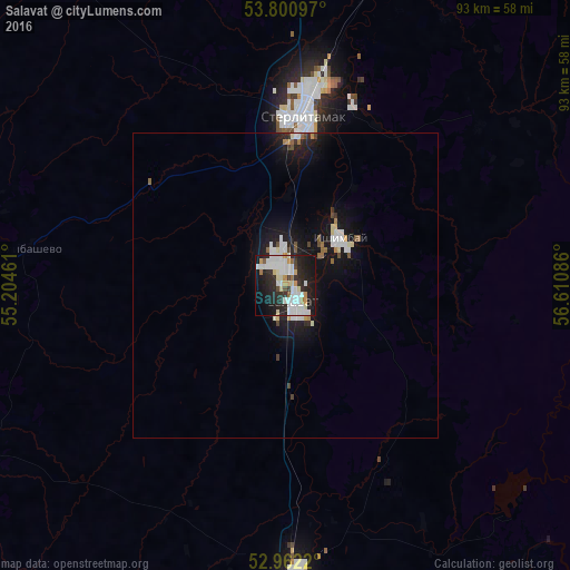
Analysis of Salavat night lights 2016
Square area 10x10 km:
 14.29%
90-99
13.1%80-89
4.1%70-79
3.97%60-69
2.78%50-59
1.06%40-49
1.72%30-39
3.97%20-29
19.44%10-19
26.98%0-9
8.6%Square area 50x50 km:
0.88%90-99
0.86%80-89
0.33%70-79
0.27%60-69
0.27%50-59
0.28%40-49
0.33%30-39
0.27%20-29
1.29%10-19
4.53%0-9
90.68%Clear (daylight) street map image can be seen on geolist.org.
Map coordinates:
53° 48' 3.5" North, 55° 12' 16.6" East
53° 23' 1.1" North, 55° 54' 27.8" East
52° 57' 43.9" North, 56° 36' 39.1" East
Some cities around Salavat sort by population:
• Sterlitamak
26.9 km =16.7 mi,  5°
5°
• Ishimbay
11.9 km =7.4 mi,  48°
48°
• Meleuz
46.6 km =29 mi,  177°
177°
• Kumertau
69.1 km =42.9 mi,  186°
186°
• Tolbazy
71.2 km =44.2 mi,  358°
358°
• Yermolayevo
74.5 km =46.3 mi, 185°
• Sterlibashevo
43.5 km =27 mi,  277°
277°
• Yumaguzino
62.4 km =38.8 mi,  148°
148°
499292 (p: 159,893)
Sources (retrieved 2019-11-25):
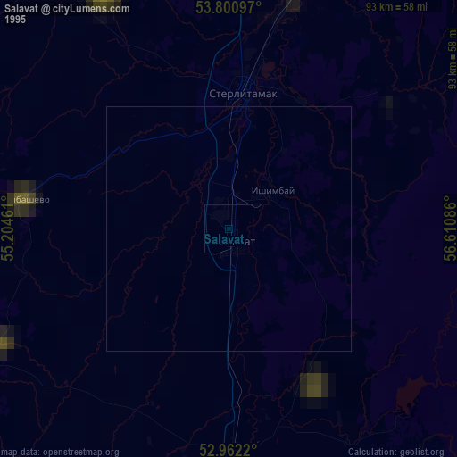
» NASA, Earths city lights 1995
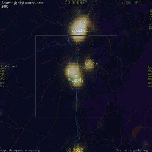
» NASA city lights 2003
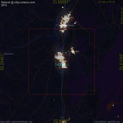
» Earth at Night: Flat Maps 2012, 2016