Meleuz night lights from space
Night Light of Meleuz (Bashkortostan Republic) from space (Russia) Src. Average luminocity for 10x10km area is 21.4167% and for 50x50km: 1.5174%.
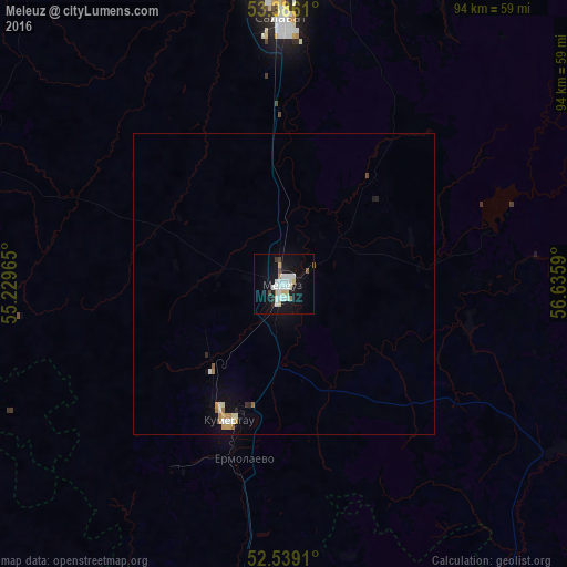
Analysis of Meleuz night lights 2016
Square area 10x10 km:
 5.82%
5.82%90-99
5.29%80-89
2.25%70-79
0.79%60-69
0.79%50-59
1.46%40-49
1.32%30-39
0.66%20-29
0.93%10-19
25.53%0-9
55.16%Square area 50x50 km:
0.31%90-99
0.31%80-89
0.16%70-79
0.13%60-69
0.18%50-59
0.11%40-49
0.08%30-39
0.05%20-29
0.11%10-19
1.29%0-9
97.28%Clear (daylight) street map image can be seen on geolist.org.
Map coordinates:
53° 23' 10" North, 55° 13' 46.7" East
52° 57' 52.8" North, 55° 55' 58" East
52° 32' 20.8" North, 56° 38' 9.2" East
Some cities around Meleuz sort by population:
• Salavat
46.6 km =29 mi,  357°
357°
• Ishimbay
54.9 km =34.1 mi,  7°
7°
• Kumertau
24.2 km =15 mi,  204°
204°
• Tyul’gan
71.2 km =44.2 mi,  167°
167°
• Mrakovo
54.1 km =33.6 mi,  120°
120°
• Yermolayevo
29 km =18 mi, 197°
• Sterlibashevo
69.2 km =43 mi,  319°
319°
• Yumaguzino
31.6 km =19.6 mi,  102°
102°
527717 (p: 65,362)
Sources (retrieved 2019-11-25):
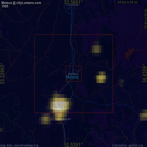
» NASA, Earths city lights 1995
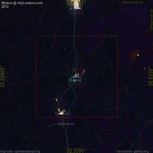
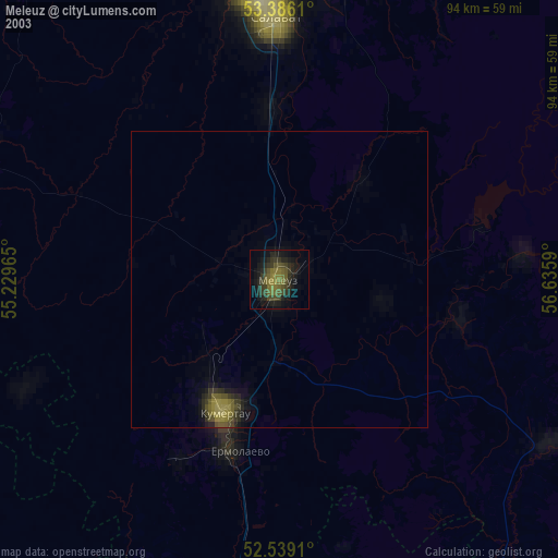
» NASA city lights 2003
» Earth at Night: Flat Maps 2012, 2016