Sharlyk night lights from space
Night Light of Sharlyk (Orenburg Oblast) from space (Russia) Src. Average luminocity for 10x10km area is 0% and for 50x50km: 0.0329%.
Analysis of Sharlyk night lights 2016
Square area 10x10 km:
 0%
0%90-99
0%80-89
0%70-79
0%60-69
0%50-59
0%40-49
0%30-39
0%20-29
0%10-19
0%0-9
100%Square area 50x50 km:
0%90-99
0%80-89
0%70-79
0%60-69
0%50-59
0.01%40-49
0.03%30-39
0.04%20-29
0.01%10-19
0%0-9
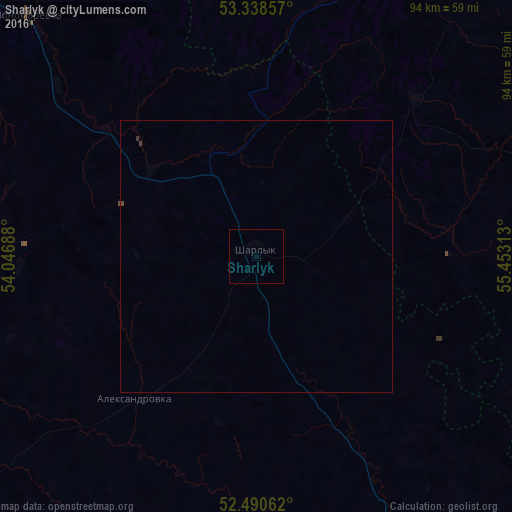
99.93%Clear (daylight) street map image can be seen on geolist.org.
Map coordinates:
53° 20' 18.9" North, 54° 2' 48.8" East
52° 55' 0" North, 54° 45' 0" East
52° 29' 26.2" North, 55° 27' 11.3" East
Some cities around Sharlyk sort by population:
• Salavat
93 km =57.8 mi,  56°
56°
• Ishimbay
104.8 km =65.1 mi, 55°
• Meleuz
79.4 km =49.3 mi,  86°
86°
• Kumertau
71.4 km =44.4 mi,  103°
103°
• Kirgiz-Miyaki
79.6 km =49.5 mi,  2°
2°
• Bizhbulyak
92.5 km =57.5 mi,  339°
339°
• Yermolayevo
74 km =46 mi,  107°
107°
• Sterlibashevo
67.1 km =41.7 mi,  30°
30°
495670 (p: 8,072)
Sources (retrieved 2019-11-25):
» Earth at Night: Flat Maps 2012, 2016