Kirgiz-Miyaki night lights from space
Night Light of Kirgiz-Miyaki (Bashkortostan Republic) from space (Russia) Src. Average luminocity for 10x10km area is 0% and for 50x50km: 0%.
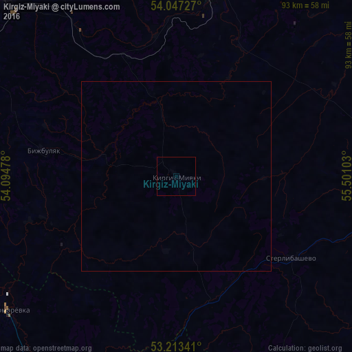
Analysis of Kirgiz-Miyaki night lights 2016
Square area 10x10 km:
 0%
0%90-99
0%80-89
0%70-79
0%60-69
0%50-59
0%40-49
0%30-39
0%20-29
0%10-19
0%0-9
100%Square area 50x50 km:
0%90-99
0%80-89
0%70-79
0%60-69
0%50-59
0%40-49
0%30-39
0%20-29
0%10-19
0%0-9
100%Clear (daylight) street map image can be seen on geolist.org.
Map coordinates:
54° 2' 50.2" North, 54° 5' 41.2" East
53° 37' 56.6" North, 54° 47' 52.4" East
53° 12' 48.3" North, 55° 30' 3.7" East
Some cities around Kirgiz-Miyaki sort by population:
• Sterlitamak
76 km =47.2 mi,  90°
90°
• Belebey
70 km =43.5 mi,  320°
320°
• Davlekanovo
67.3 km =41.8 mi,  13°
13°
• Abdulino
74.9 km =46.5 mi,  275°
275°
• Priyutovo
64.1 km =39.8 mi,  297°
297°
• Rayevskiy
49.2 km =30.6 mi, 11°
• Bizhbulyak
35.9 km =22.3 mi, 281°
• Sterlibashevo
37.3 km =23.2 mi,  125°
125°
548493 (p: 7,673)
Sources (retrieved 2019-11-25):
» Earth at Night: Flat Maps 2012, 2016