Tolbazy night lights from space
Night Light of Tolbazy (Bashkortostan Republic) from space (Russia) Src. Average luminocity for 10x10km area is 3.5518% and for 50x50km: 0.2695%.
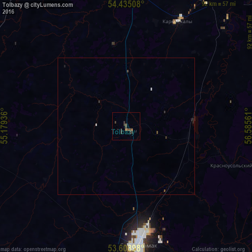
Analysis of Tolbazy night lights 2016
Square area 10x10 km:
 0%
0%90-99
0%80-89
0%70-79
0.25%60-69
0.51%50-59
1.52%40-49
1.52%30-39
2.78%20-29
0.51%10-19
0%0-9
92.93%Square area 50x50 km:
0.02%90-99
0.02%80-89
0%70-79
0.01%60-69
0.02%50-59
0.1%40-49
0.08%30-39
0.17%20-29
0.1%10-19
0.02%0-9
99.46%Clear (daylight) street map image can be seen on geolist.org.
Map coordinates:
54° 26' 6.3" North, 55° 10' 45.7" East
54° 1' 26.7" North, 55° 52' 56.9" East
53° 36' 32.3" North, 56° 35' 8.2" East
Some cities around Tolbazy sort by population:
• Sterlitamak
44.6 km =27.7 mi,  174°
174°
• Salavat
71.2 km =44.2 mi,  178°
178°
• Ishimbay
64.2 km =39.9 mi, 170°
• Davlekanovo
59.5 km =37 mi,  291°
291°
• Chishmy
69.6 km =43.2 mi,  331°
331°
• Rayevskiy
61.3 km =38.1 mi,  274°
274°
• Karmaskaly
43.3 km =26.9 mi,  26°
26°
• Sterlibashevo
77.1 km =47.9 mi,  212°
212°
482432 (p: 10,183)
Sources (retrieved 2019-11-25):
» Earth at Night: Flat Maps 2012, 2016